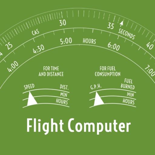
Calculate parameters such as time, distance, and fuel consumption. Adjust wind direction and speed for accurate wind correction. Use the E6B calculator for fuel planning and navigation. Visualize and manipulate dials and scales for precise planning.
Calculate pressure and density altitudes, true airspeed, and mach number. Determine wind correction angle and true heading. Compute crosswind, headwind, and tailwind. Find ground speed and flight time. Calculate fuel burn and cloud base.
Learn aircraft systems through interactive cockpit simulations. Explore full electrical diagrams for in-depth understanding. Practice operations and system functions to prepare for -JETS training.
Search and book flights to European destinations. Manage flight bookings in one place. Access mobile boarding passes to expedite airport and reduce paper use. Store up to eight boarding passes offline.
Navigate using real-time maps and flight tracking. View weather data and airspace restrictions. Log flight details and share them with pilots. Set waypoints and monitor altitude. Sync with GPS devices and receive turn-by-turn guidance.
The app provides data-driven debriefs for pilots, analyzing flights into segments to evaluate performance. It offers maneuver scoring, reviews of flight data, and chart overlays to identify areas for improvement.
Access real-time GPS distances for over 38,000 courses. Plan shots with adjustable layup points. Track and store scores and statistics. Update GPS device firmware for compatibility with 2021 models and newer.
The app displays a zoomable map that moves with the aircraft and shows key flight variables. Users can select different map types, aircraft icons, and units of measurement for a personalized flight simulation experience.
Adjusts settings for low-light photography. Amplifies residual light in real-time. Switches between light amplification and exposure modes. Allows up to one-second exposure for detailed images. Captures clearer photos in twilight conditions.
GPS tracks current speed, distance, and altitude. Displays average and maximum speed. Shows speed limits in real time. Supports mph, km/h, and knots. Measures travel time and battery level. Works offline.
Calculate max speed cruise , true airspeed, pounds per hour, and NM/pound based on altitude and outside air temperature. Input values for Piper , M600, M700 Fury, and DLX aircraft. Reference performance tables and figures from specific POH sections.