Use to view projected sea rise at any U.S. coastal location. Capture AR simulations showing future water levels. Share short videos with others to illustrate local impacts of rising seas.
by Heiko Sacher★ 4.08 ratingsEducationFreeData updated 2026-09-17
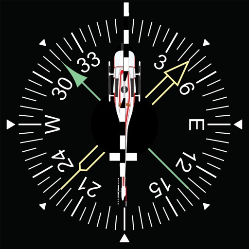
Learn to navigate using a flight simulator with radial interception and non-directional beacon tracking. Perform standard and half-standard rate turns at a fixed airspeed.
Generate backstripping curves from stratigraphic data
Enter stratigraphic data into a table to perform backstripping. Generate publication-ready backstripping curves with a single click. Export data and results for further analysis in other software.