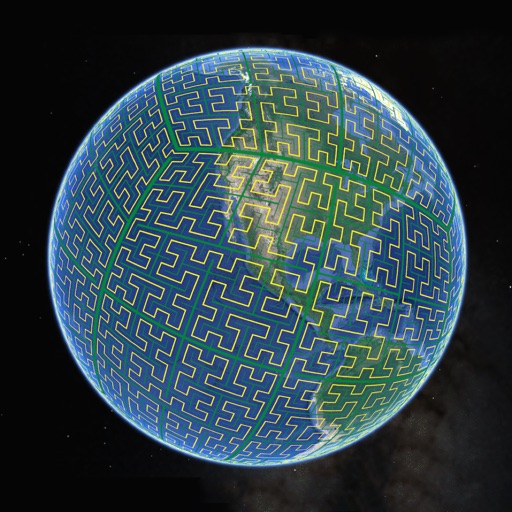
Display S2 cell boundaries globally. View cell IDs and compare with real-world landmarks. Integrate with Ingress Intel Map to check portals and stops. Ensure new submissions align with cell boundaries.
Distances, areas, and routes on maps using standard, satellite, terrain, and hybrid views. Calculate total area between points or along a route. Display coordinates in UTM and MGRS formats.
Provide offline topographic maps of Great Britain with pan and zoom capabilities. View detailed terrain features and scale at 1:25k. Use for outdoor activities like hiking, cycling, and hunting in areas without cellular coverage.
Explore ski areas worldwide with 3D maps and GPS navigation. View real-time lift status and offline maps. Share location with others. Access alpine, nordic, and backcountry terrain details. Track progress and plan routes.