

Apps Like Outly for iPhone and iPad
Outly screenshots
Ranked alternatives
Showing 401–420 of 1,000 ranked alternatives.


MyFieldTracker
MyShoppingHelper, LLC.
Track areas with ArcGIS maps and GPS
Allows users to define harvesting areas and stream boundaries using ArcGIS map data. It supports iPad with GPS boosters for location tracking. Users can manage map layers and attributes for forestry planning.


rakkup
Outdoor Geeks LLC
Guidebooks for climbing and skiing.
The app provides access to climbing and backcountry skiing guidebooks on a mobile device. Guidebooks are available for offline use after download and offer turn-by-turn trail navigation to climbs using the device's GPS.

OutDoors GPS France - IGN Maps
RoadTour LLC
Find routes, track your path, download
View topographic, satellite, and road . Download official IGN for offline use. Find and follow hiking and biking routes across Europe. Record, save, and share routes online. Set waypoints and track progress. Navigate without cellular signal.


ClueKeeper
ClueKeeper LLC
Solve clues and follow the path
Create and play clue-based games with customizable puzzles, riddles, and challenges. Share locations and track progress in real time. Use augmented reality for interactive clues. Invite friends to join and solve challenges together.

GPS Fields Area Measure on Map
Chirag Gabani
Land areas with GPS
Land using GPS technology. Define boundaries on maps to calculate plot sizes. Calculate distances and areas for properties or regions. Save and share measurement data. Sync with mapping services for accurate results.

Kauai Offline Island Guide
I Heart Travel Inc.
Explore photo spots with maps and directions
Explore 110 favorite photo spots with maps, directions, and detailed descriptions. View photos and read descriptions. Navigate without cell signal. Download the for use.
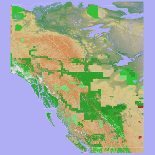
Scenic Map Western Canada
Mark Granger
3D topo map of Western Canada
The app provides a 3D topographical map of Western Canada. Map data downloads to the device for use without an internet connection, allowing users to view terrain features as small as ten meters.
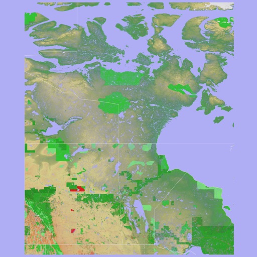
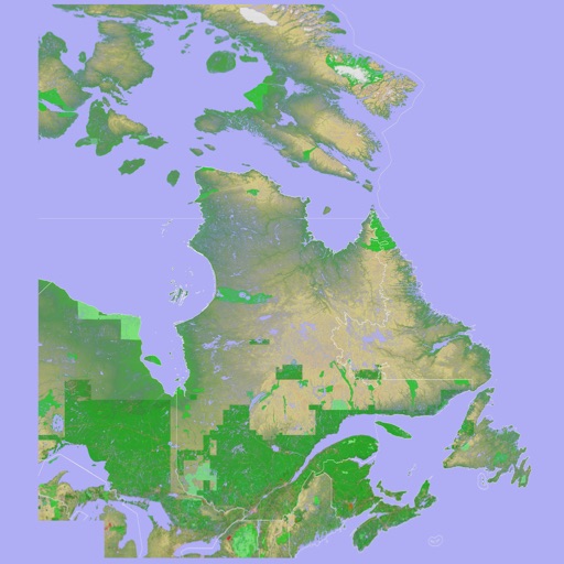
Scenic Map Eastern Canada
Mark Granger
3D topographic map of Eastern Canada
The app presents a 3D topographic map of Eastern Canada. Users can download map data for use without an internet connection, suitable for various travel methods.


Karttaselain - Maastokartta
AccelBit Inc.
Detailed maps for outdoor and work.
The app provides detailed maps for outdoor activities and work, including terrain, waterways, and property data. It offers features like offline maps, nautical charts, and GPS positioning for navigation.

How we rank alternatives
Apps are ranked by functional similarity, category fit, rating confidence, and popularity.