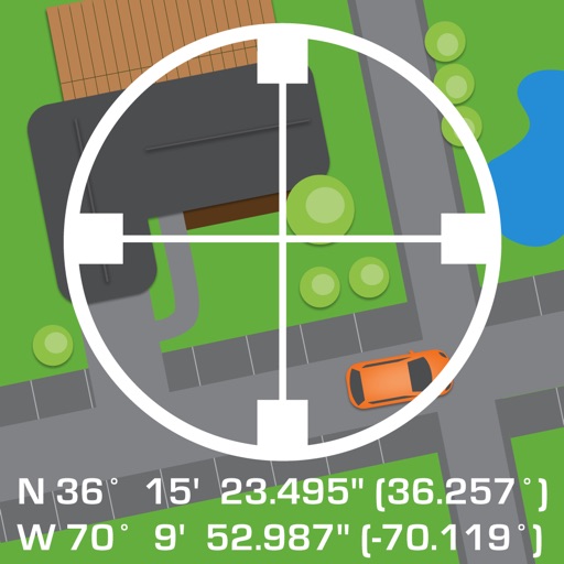
Capture GNSS data measurements using compatible third-party hardware on iPhone or iPad. Switch between utility line types, record geographic locational data, and log attribute information such as line details and maintenance history.
The app organizes location data into sets and groups. It displays and converts between coordinate formats, allowing for custom properties and map overlays.
Customize dashboards with configurable gauges like speedometer, odometer, GPS altimeter, barometric altimeter, accelerometer, artificial horizon, compass, and elapsed time. Swipe to switch views and access real-time sensor data from iPhone or iPad.