Track vessel positions in real-time using AIS data. View latitude, longitude, speed, course, and draught. Identify vessels by unique ID. Access global coverage with accurate maritime tracking.
View 3D terrain with elevation details. Plan routes using detailed topographic . Access footpaths and natural features. Track progress with distance and elevation metrics. Share and routes with others.
View nautical charts in S-57, S-63, iENC, and BSB/KAP formats. Use external NMEA/AIS data over WiFi. Display official HO S-57/S-6 charts. Navigate river, channel, and harbor routes. Access real-time positioning and vessel tracking data.
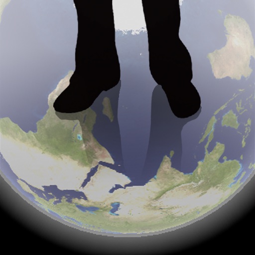
The app shows a transparent view of the earth, allowing users to see the other side of the world beneath their feet. It displays the positions of major cities on a reversed blue marble through a camera overlay view.
Capture photos with integrated map data and weather information. Adjust settings including grid, aspect ratio, and manual map options. Edit images with map overlays and share directly.
Track with high-precision GPS. Record trips and display real-time data on a head-up display. Receive speeding alerts. Navigate with integrated map support. distance, time, and elevation. Share trip data.
Complete maritime navigation regulations reference.
The app provides the International Regulations for Preventing Collisions at Sea, 1972, and Inland Navigation Rules. It features an annotated table of contents, a search function, and a selected page for quick access to rules.
Display GPS coordinates in DMS, DDM, or DD formats. Show altitude in feet or meters. Track speed with a speedometer. Share coordinates. Switch between magnetic and geodetic north. Use flashlight for nighttime. Provide location data.
Navigate public transport in with real-time arrival times and waiting durations. View maps for , EMT, and Interurbanos lines. Calculate routes between stations. Save favorite stops and access timetables for accurate planning.
Trace paths on maps to analyze elevation, distance, gradient, and bearing. View elevation and grade profiles of traced routes. Calculate area of arbitrary paths. Use satellite or default map views for terrain study.