Control drones via a remote connection. View live video streams and share them with incident commanders. Log flight data automatically. Adjust drone settings and monitor battery life in real time.
by DroneSense INC★ 4.632 ratingsNavigationFreeData updated 2026-09-17
Provides flight data management with downloadable weather briefings and dual data cycle support. It includes a glide ring for descent planning and a collapsible navlog for airway and procedure tracking.
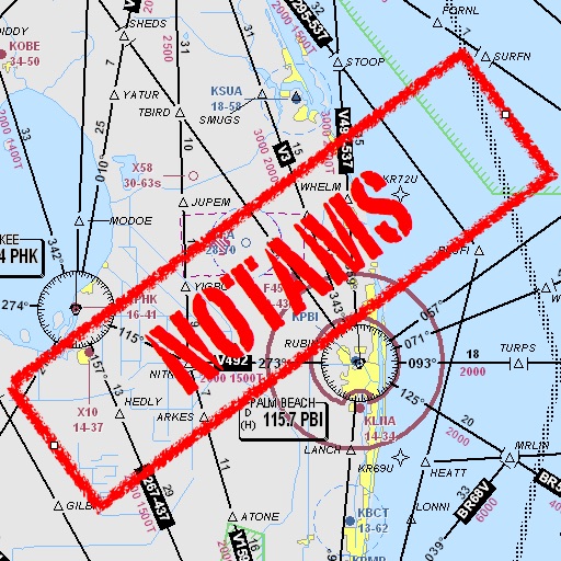
Assists pilots with interpreting NOTAMs, METARs, TAFs, and Area Forecasts. It decodes acronyms and contractions for both inflight and ground use. Users can search for details and weather reports.
View decoded and TAF reports for local and global . Save favorite stations for quick access. Customize units in settings. Use map view to analyze flight along planned routes. Share data with other pilots.
Plan and manage flights with auto-routing and real-time data. Sync flight details between devices. View weather, airspace, and airport information. Log flight details and track progress. Share flight plans with others.