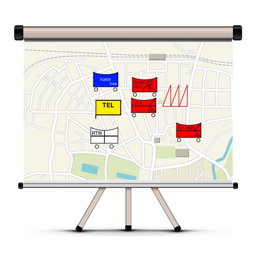
The app allows users to create and edit tactical maps with over 1600 symbols from various organizations. It supports custom map materials, drawing functions, and the ability to record situation reports directly within the application.
The app automatically counts, measures, and inventories woodpiles and individual logs within five minutes. It determines woodpile volume and individual log measurements from photos without requiring an internet connection.
The app offers functions for managing crane projects, including discovering crane types, contacting a personal contact person, and accessing services for crane operation and construction sites. It provides online registration and first aid tips.