Explore offline maps with zoomable regional details and AR features. View interactive points of interest including public transport, restaurants, and hospitals. Access daily itineraries, budget-friendly accommodations, and shopping guides.
Use AR to locate parked cars 3D navigation. Tap "I parked here" to save locations quick or detailed GPS settings. Follow AR arrows for precise directions back to vehicle. Save new spots as needed.
Explore cities with augmented reality navigation and maps. View interactive points of interest including public transport, dining, and attractions. Access daily itineraries, budget-friendly hotels, and shopping guides.
The app provides an offline travel guide with interactive maps and augmented reality features. It includes daily itineraries, budget-based recommendations, and city tips for navigating and experiencing Paris.
Explore San with detailed maps, public transport routes, and neighborhood guides. Use augmented reality for location-based info. Access offline maps and navigate steep hills easily.
Explore offline maps with zoom functionality and AR navigation. Find points of interest like restaurants and hospitals. View daily itineraries and budget-friendly accommodations. Get shopping guides, nightlife options, and city tips for safe .
PRO helps users locate satellites by pointing their device skyward. It displays available satellites based on location. Users can search for satellites by channel name, radio name, or provider.
Navigate using augmented reality for real-time directions. Access offline maps and metro guides for planning. View interactive points of interest including public transport, dining, and attractions.
Navigate coastal waters with detailed maps of marinas, fuel docks, and boat ramps. Find verified points of interest like restaurants, lodging, and dive shops. Access information on tides, currents, and safe anchoring spots.
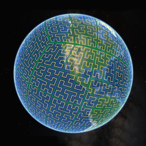
Display S2 cell boundaries globally. View cell IDs and compare with real-world landmarks. Integrate with Ingress Intel Map to check portals and stops. Ensure new submissions align with cell boundaries.
Explore cities with augmented reality navigation and offline maps. View interactive points of interest including public transport, restaurants, and museums. Access daily itineraries, budget-friendly accommodations, and shopping guides.
Explore locations with augmented reality overlays. Access offline maps and metro guides for navigation. View interactive points of interest including public transport, dining, and attractions.
The app offers an offline travel guide with augmented reality features. It includes zoomable offline maps, interactive points of interest, and daily itineraries for exploring the city and its region.