Track and adjust trolling line length based on factors like lure size, ring type, and line weight. Input measurements to calculate optimal length. Save and retrieve settings for different fishing setups. Share configurations with other users.
Turn your iPhone or iPad into an outdoor GPS or marine chart plotter. Use detailed Topo maps or NOAA marine charts for navigation. Access maps offline without a network connection. View GPS location without mobile signal.
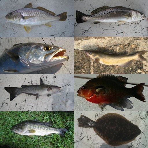
Log catches by adding species, weight, and length with automatic location saving. View fishing forecasts based on weather, wind, pressure, and moon phase. Unlock species in a collection and review past fishing days.