View and convert geographic across multiple formats and datums. Manage locations with an intuitive interface. Display current location at the intersection of two grey lines. Export in various global systems.
Displays current with minimum and maximum temperatures. Shows 72-hour and 10-day forecasts for global cities. Automatically detects location. Includes animated satellite maps with wind, rain, temperature, and cloud layers.
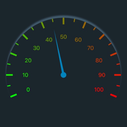
Track speed, max speed, average speed, distance, travel time, and stop time. Measure acceleration from 0 to 60 mph. Receive speed limit warnings in HUDWAY mode. Displays trip data in a digital GPS speedometer format.
The app provides offline maps for searching places and addresses. It offers navigation for cars, public transport, bikes, and walking with real-time traffic conditions and voice guidance.
Track altitude, elevation, and GPS coordinates. Monitor speed in km/h or mph. View compass direction. Check GPS signal quality. Log location for outdoor activities like running, mountaineering, or traveling.
Track changes using a barometer and set reference pressure and altitude. View real-time altitude and adjust landscapes based on time of day. Use compass for orientation during hiking and outdoor activities. Compare differences between two points.
GPS speedometer displays real-time speed for driving, biking, or walking. Measure trip distance offline. Track altitude for planes. Switch between mph, km/h, and knots. Use Today Widget or Apple Watch. Adjust screen color and toggle mirror .
Track speed and distance in miles and kilometers. Display maximum, average, and current speed. Show road names and speed limits. Receive speed camera alerts. View weather information. Sync with Apple Watch. Display odometer readings.
Track speed, distance, altitude, and heading using GPS. View latitude and longitude coordinates. Monitor sunrise and sunset times. Record acceleration data. Save journey logs for later review. Share trip details via email or social media.
Navigate using auto-direction based on current location. Create routes on Google . Access latest Street View and traffic data. Search locations with simple input. Add multiple pins and view full-screen . Display latitude and longitude.
Provide driving and walking directions with turn-by-turn voice . Access real-time traffic updates. Use Apple CarPlay for hands-free . View up-to-date satellite imagery. Explore points of interest on the map.
Track with real-time GPS data and accuracy. View trip distance using a digital odometer. Access HUD mode for display on the windshield. Set customizable alerts. Function without an internet connection.
Track speed in using units like meters per second, miles per hour, and kilometers per hour. Display speed in English or Spanish. Allow users to request additional language support.
Find ' system requirements and compare them with your phone specs. Check if your device can run the game. Add to a personal list. Test internet speed with a built-in speedometer. Receive notifications for new . Integrate with iOS Siri shortcuts.
View real-time GPS maps and switch between map and views by holding the device. Track heading, , altitude, latitude, longitude, speed, and temperature. Use a for accurate navigation and monitor speedometer and temperature readings.
Monitor speed and distance with real-time GPS tracking. Switch between car and bike cyclometer. View average and max speed. Adjust units to mph or km/h. Check GPS accuracy and distance precision. Track time elapsed and altitude.