Apps Like Topo Map & Hiking Tracker for iPhone and iPad
Track hikes, view maps, monitor stats
Track hikes with distance, vertical gain, time, and calories burned. View maps with color-coded elevation tracks and stats on Apple Watch. Backup data to iCloud and share between devices. Use USGS and satellite maps for navigation.
by LW Brands, LLC★ 4.71,357 ratingsNavigation$0.99Data updated 2026-11-08
The app provides offline topographic map coverage of New Zealand's South Island. It includes satellite images, elevation data, and integrated data for various outdoor activities.
View VIIRS and DMSP satellite data with customizable overlays including clouds, auroras, and IAU observatories. Display SQM and SQC measurements for . Add personal SQM readings via email. Track radiance changes over time.
View marine with satellite and terrain overlays. Access local weather forecasts. Use NOAA raster for navigation. Track position and route. Share maps and waypoints. Work offline without mobile coverage.
Track activity, heart rate, sleep, and health data. Receive notifications including alarms and timers. Sync data wirelessly with Apple iOS8 devices. View daily stats like steps, distance, calories burned, and sleep quality.
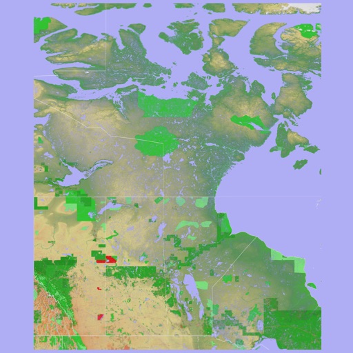
The app presents a 3D topographic map of Eastern Canada. Users can download map data for use without an internet connection, suitable for various travel methods.
Track satellites in real time with world map and overhead sky views. Identify satellites and the International Space Station with orbit . Determine dish orientation for geostationary satellites using GPS. View passes for any location.
Track cycling performance with real-time data including speed, distance, elevation, and calories. Record and playback routes. Customize settings and share ride details with others.
Navigate trails and routes using detailed and turn-by-turn directions. Track location and elevation. Save favorite spots and share routes. Import GPX files and set waypoints. View terrain and land features for outdoor exploration.
Provide real-time GPS navigation with voice guidance and live traffic updates. Display 3D maps and satellite views. Offer offline map access and local recommendations for food, events, and activities. Include Google Street View integration.
Track routes using GPS navigation, pause and resume routes, and view route statistics. Log finds with details like name, category, and location. Take photos of finds. Toggle between satellite, hybrid, and standard maps.
Plan hikes with built-in polls for group decisions. Share routes with friends for real-time tracking. View live location on preloaded maps without constant GPS use. Minimize battery consumption for longer hikes.
The app supplements the default iOS Maps app. It displays businesses, stations, streets, locations, and monuments on Apple Maps and provides walking or driving directions.