Camera measurement maps waypoints compass planning
The app turns an iPhone or iPad into a field toolkit for camera measurement, maps, waypoints, compass work, and astronomical planning. It estimates distance, inspects angles, saves waypoints, measures map shapes, and plans around sunlight.
Track ships and ports with real-time position and location data. View detailed information about vessels including name, flag, and MMSI number. Access port details such as name and flag. Use zoom functionality to navigate maps.
Track outdoor activities with real-time GPS mapping, displaying distance, time, elevation gain, and speed. Compare routes with downloaded tracks and view points of interest.
Monitor boat location in real time and receive alerts for drifting. Track vessel progress remotely. Set up preconfigured notifications for security events. Share live updates with designated contacts. Sync with other vessels for flotilla management.
Plan and navigate boating trips with real-time updates and high-resolution NOAA charts. View detailed digital vector charts for US coasts, inland waters, and Great Lakes. Tap buoys and lights for bearing and distance.
Download for national parks and USGS topographic regions for offline use. Access 150 NPS park and 60,000+ topographic . Use GPS navigation without internet connectivity. Save for later use in areas with no data service.
Displays current position via GPS with a map and sea level measurement in meters. Converts meters to feet using a calculator. Measures barometric pressure with a sensor for altitude tracking. Alerts for potential flooding.
Monitor boat position and anchor status in real time. Receive alerts if the anchor drags or moves unexpectedly. Track vessel location and set custom alarm thresholds. View historical data and manage settings for multiple vessels.
Provides detailed nautical maps for boating. Plan routes with a route planner. Access AIS data for vessel tracking. Locate marinas, bridges, and locks. Use offline maps for areas without internet. View almanack information for weather and tide data.
View detailed and with vector-based maps that remain clear at any zoom level. Pan, tilt, and rotate for an immersive experience. Purchase additional features within the for expanded functionality.
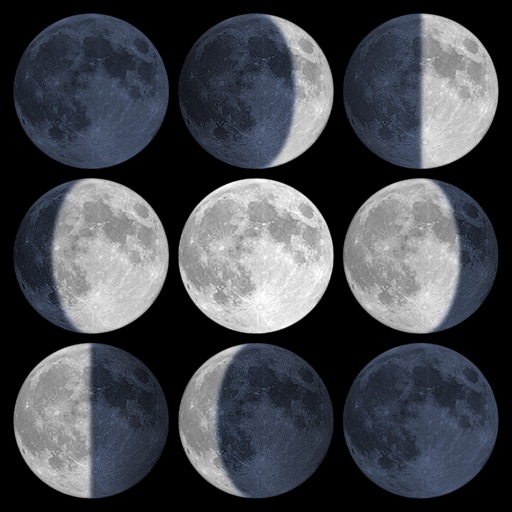
Calculate sunrise, sunset, moonrise, and moonset times based on GPS location or selected locations. Track moon phases and twilight times. Save multiple locations and sync calendars for upcoming events. Support timezone selection and iPad Split View.