Track vehicle locations in real time using GPS. View maps with route history and speed data. Receive alerts for geofence violations and fuel usage reports. Manage multiple vehicles from a single dashboard.
by Imran Junnaid★ 5.01 ratingsNavigationFreeData updated 2026-09-16
Monitor fleet vehicles in real time with location and movement data. View daily distance, driving times, stops, fuel levels, and driving behavior scores. Search vehicles by name, plate, or driver and apply filters.
Track real-time locations of members on a map. Receive alerts when someone arrives or leaves predefined locations. Set custom safe zones for automatic updates. View location history to review past routes and places.
Real-time location with contacts via web-enabled devices without needing an or account. Request location from others to track their whereabouts. View live updates of shared locations.
Determine using GPS, barometer, or location input. View data on interactive maps. Access real-time altitude readings. Compare changes across locations. Save and share measurements.
Monitor locations in real time using GPS and GSM technology. Track driver behavior, set geofences, and receive alerts for unauthorized movement. Manage multiple vehicles and drivers from a single interface.
Track vehicle movements with real-time data including location, speed, and fuel consumption. Receive alerts for geo-zone entries, speeding, theft, and emergencies.
Navigate with detailed turn-by-turn directions using real-time alerts and updated . Set destinations, view routes, and receive voice guidance. Save favorite locations and track progress on trips. Receive updates and reroute automatically.
Track flights in real time with live air traffic data. View aircraft positions on global maps. Identify planes by pointing device at them. Monitor flights of contacts or follow global aircraft movements. Set alerts for specific flights or locations.
Find hikes or ski tours tailored to your preferences. Create and save personalized routes using the route planner. Track outdoor activities with precise GPS navigation. Access detailed maps for the Alpine region.
Monitor real-time locations of contacts globally. View last known positions on a map. Share location access with selected contacts. Set up location alerts for specific areas. Check location history and movement patterns.
Track vehicle locations in real time using GPS. Monitor assets and employees remotely. Set geofences and receive alerts. View detailed trip data and fuel consumption. Manage multiple devices from a single dashboard.
Track real- MTA bus arrivals and departures. View route maps and stop locations. Receive alerts for schedule changes. Search for bus routes and plan trips. Share trip details with others. Sync with GPS for accurate timing.
Monitor vehicle locations and view travel history in real time. Manage fleet units and access motion data. Track historical movement and receive alerts for unauthorized activity.
Track satellites in real time with world map and overhead sky views. Identify satellites and the International Space Station with orbit . Determine dish orientation for geostationary satellites using GPS. View passes for any location.
View real-time bus and rail schedules for Los . Check arrival times, track vehicle locations, and plan routes. Receive updates on delays or service changes. Find stops and directions within the .
Track vehicle locations in real time using GPS. View and save travel routes. Receive alerts for speed, location changes, and battery status. Share vehicle location with others. Sync with maps for navigation and route planning.
Track vehicles with real-time GPS updates. Optimize routes to minimize fuel costs. Monitor fuel consumption and temperature data. Set alerts for vehicle status and maintenance needs. Manage fleet operations remotely with automation tools.
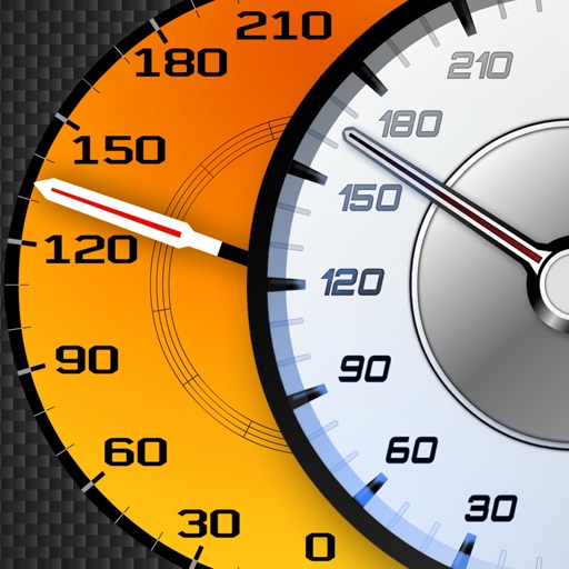
Track vehicle speed using GPS or simulation mode. View detailed speedometer displays with realistic graphics. Hear authentic engine during acceleration. Explore speed data from popular supercars.
Track vehicle movements using GPS satellite technology and Viettel mobile networks. Monitor trips, set geofences, and receive alerts. Record speed, fuel levels, and engine data. View real-time location and historical routes.
The app provides fleet management features including real-time vehicle tracking, route monitoring, and customizable alerts for various vehicle statuses. It also offers diagnostics, performance analysis, and a driver safety system.