Monitor network connectivity real-time results displayed in an interactive chart. Pinch to zoom and swipe to scroll through data. Emit up to 100 pings per second for accurate packet loss detection.
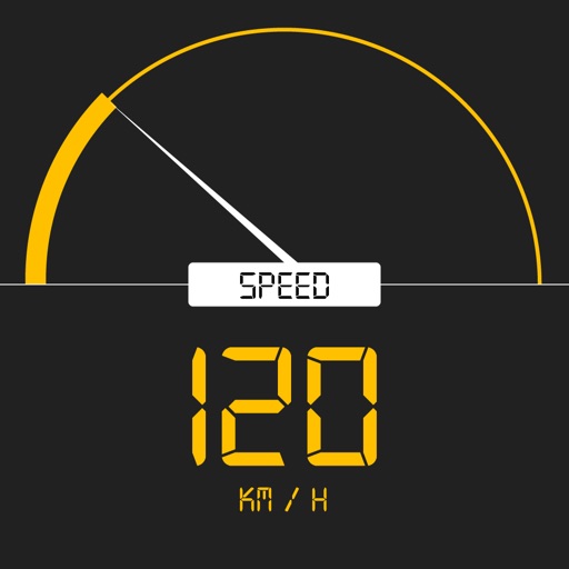
Tracks current, maximum, and average speed using GPS. Displays speed in analog and digital formats with colorful LED. Records distance traveled and trip time. Functions as a trip meter and for vehicles, walking, running, biking, and boating.
The app provides worldwide marine and outdoor maps, satellite imagery, and terrain overlays. It includes local marine weather forecasts and community information for boaters.
With a single tap. Measure download and upload speeds. Analyze network latency and jitter. Monitor performance over time. Identify and resolve connectivity issues. Optimize network settings for better performance.