The app provides comprehensive flight planning for Australia, featuring an extensive waypoint database, VFR and IFR planning, and flight plan submission. It offers weather decoding, graphical weight and balance, and Google Earth route display.
The app provides VFR and IFR flight planning with an extensive database of airfields and NAVAIDS. It supports flight plans up to 50 waypoints, unlimited saved plans, and graphical weight and balance calculations.
The app imports geocaches from GPX, LOC, and Pocket Query files. It allows users to organize, manage, and explore their geocache library with features like custom folders, bookmark list synchronization, and detailed cache information tabs.
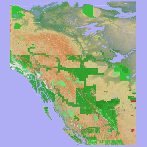
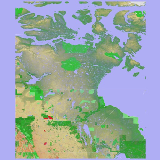
The app provides a 3D topographical map of Western Canada. Map data downloads to the device for use without an internet connection, allowing users to view terrain features as small as ten meters.
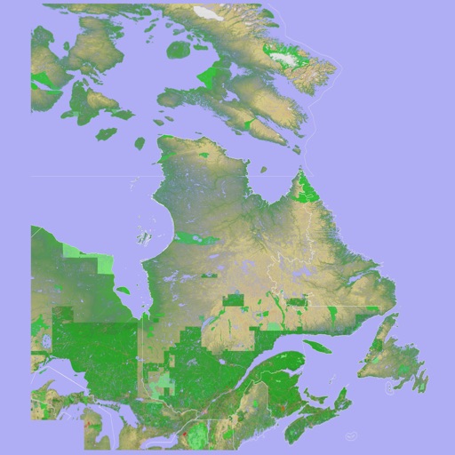
The app presents a 3D topographic map of Eastern Canada. Users can download map data for use without an internet connection, suitable for various travel methods.
The app records GPS tracks, allowing users to save routes and add photos, videos, and voice notes. Users can share routes with others or upload them to the cloud for discovery by a global community.