Track location and navigate back to a marked waypoint using directional guidance. Measure distance to the waypoint in meters. Save multiple waypoints for future reference. Share coordinates with others for group navigation.
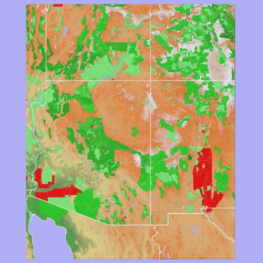
The app provides 3D topographic maps for iPad and iPhone. Vector map data is contained within the app for offline use, supporting navigation in various environments.
The app imports planned routes from TrailRunner mini and follows their course. It allows users to switch map styles, use offline mode, and share routes via email.
Search for locations or use current position to find nearby activities. Filter by interests and view map-based results. Save offline maps and GPS directions for trips.
The app provides worldwide marine and outdoor maps, including USA marine charts, lake maps, and parks. Users can download charts for offline use, overlay satellite and terrain features, and access interactive weather forecasts.
The app offers route suggestions from professional authors and maps from qualified cartographers for outdoor experiences. Users can download maps for offline use, plan their own routes, and record adventures.
Plan routes with real-time transfers and station details. View detailed line information and station order. Switch between day and night map themes for better visibility. Quickly access any station via the stations index.