

Apps Like WristRoute Lite for iPhone and iPad
WristRoute Lite screenshots
Ranked alternatives
Showing 281–300 of 1,000 ranked alternatives.

Hawaii Ocean Map
Jorma Rodieck
Explore depths with high-resolution maps
Explore seafloor topography using NOAA's high-resolution bathymetry data. View underwater features like reefs, ledges, and channels. Access maps offline without a subscription.

Bangkok Rail Map Lite
Ansgar Vollmer Und Till Knorr
Navigate routes and find transfer stations
Plan trips by viewing and subway routes with detailed line and station information. Find the fastest route and transfer points. Quickly access any station or view station order on each line.

Shanghai Rail Map Lite
Ansgar Vollmer Und Till Knorr
Plan routes, view maps, find transfers
Navigate public transportation with detailed and subway maps. Find the fastest route with transfer stations highlighted. Jump to any station instantly. View station order on each line and transit options.




Coastal Explorer
Rose Point Navigation Systems, Inc
Plan and log cruises
View NOAA and USACE nautical charts for U.S. waters in vector format. Create routes, waypoints, and boundaries. Sync navigation objects across devices. Track boat position and speed. Set and monitor alarms for depth, speed, and proximity.


iHikeGPS NZ : LINZ Topo Maps
James Associates Inc.
Track routes, view , navigate outdoors
Record and view hiking tracks with detailed topographic . Navigate routes using GPS coordinates. Mark waypoints and save locations. Display elevation changes and compass direction. Sync with Apple Health for activity tracking.
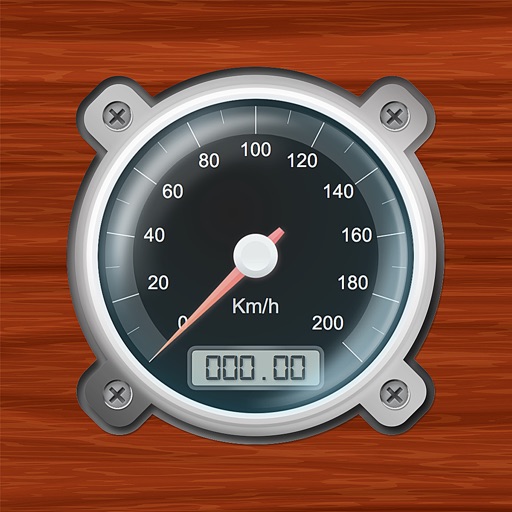
Speedometer-PRO
3B Soft srls
Speedometer and GPS trip computer.
The app tracks trips and exports data in gpx and kmz formats. It synchronizes local tracking data with a configurable OpenGTS server for fleet tracking.


StrikeLines
Strikelines Pensacola, LLC
Record trips, track waypoints, download maps
Track fishing trips with GPS recording and save detailed trip data. Manage waypoints to mark and revisit productive locations. Import and export GPX files for data sharing or backup.

UK Map
Mappendix Limited
Download maps, plan routes, record tracks.
The app offers unlimited free map downloads based on Ordnance Survey OpenData, with options for paid map downloads. It allows users to mark waypoints, plan routes, record tracks, and import/export GPX files.



Maldives GPS Map Navigator
Flytomap
Explore maps without mobile coverage.
The app provides worldwide marine and outdoor maps, satellite imagery, and terrain overlays. It includes local marine weather forecasts and community information for boaters.

POIViewer
David Epinette
Manage and display points of interest.
The app manages and displays points of interest on maps. It imports and exports places, waypoints, and placemarks, showing them as pins or icons.

Dublin Rail Map Lite
Ansgar Vollmer Und Till Knorr
Plan routes, view maps, and track transfers
Navigate public transport with real-time route planning and station navigation. View detailed line maps and station indexes. Access offline data and GPS-based station location. Find transfer points and track transit options.

How we rank alternatives
Apps are ranked by functional similarity, category fit, rating confidence, and popularity.