Monitor crop development using satellite imagery and NDVI calculations. Track weather conditions and identify problem areas in fields. Access machinery files and calculate seed and fertilizer rates through the web version.
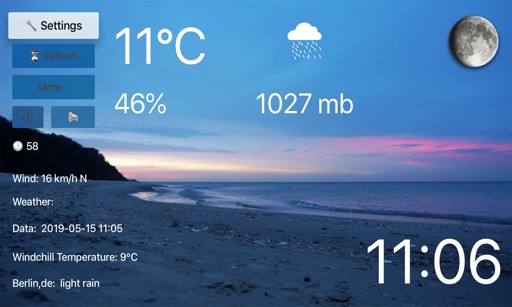
View current weather conditions including temperature, humidity, wind speed and direction, precipitation, solar radiation, and soil data from 560+ stations. Access 24-hour historical observations and hourly forecasts.
Monitor earthquakes with real-time updates and GPS compass maps. Display professional data including altitude, orientation, air pressure, and coordinates. View environmental metrics like humidity and temperature.
Monitor and control wireless sensor tags for temperature, humidity, motion, and water detection. Receive push notifications for door/window status, water presence, or environmental thresholds.
Track energy production for the next 360 hours and 15 days. Export data in CSV format. Predict hourly and daily generation for rooftop or photovoltaic power plants. Help manage energy usage and costs.
View forecasts for race tracks and custom locations. Calculate Density Altitude, Grains of Water, and HP Correction Factor. Search or add race tracks manually. Track conditions for specific locations.