The app transforms devices into a compass with a rustic aesthetic and user-friendly interface. It provides location, altitude, and orientation using device sensors for navigation and everyday use.
Simulate drone with realistic controls and environmental obstacles. Adjust drone settings, view real-time altitude and battery status. Record sessions and replay in first-person view.
Track in meters or feet with real-time updates. Display GPS accuracy and battery usage. Works offline with a clean interface. Ideal for hiking, flight tracking, and outdoor activities.
Plan and schedule flights with airspace information on classification, restrictions, and NOTAMs. Review flight guidelines, request authorization, and receive automatic approval responses. Track flight status and access real-time airspace data.
Simulate FPV drone flights with realistic controls and environments. Practice freestyle tricks and techniques. Adjust camera angles and view live data. Connect to compatible goggles for immersive experience. Share recordings and replay sessions.
Control DJI drone flights with preloaded missions and custom routes. Adjust camera settings, capture photos and videos, and review media directly. Share content via social media or email. Track flight data and manage drone settings remotely.
Control with advanced waypoint navigation and custom flight paths. Adjust camera settings and capture panoramic shots. Switch between FPV mode and standard view. Save and load flight routes locally. Ensure stable operation with minimal lag.
Connects to a drone via USB for real-time image display. Controls drone functions using the mobile phone as a remote. Adjusts flight settings and captures aerial photos. Sends commands for takeoff, landing, and movement.
Remote camera control allows users to take photos and videos from a distance. Adjust focus, zoom, and flash settings. Set timer for 3 or 5 seconds. Switch between front and rear cameras. View captured media instantly.
Control drones with voice commands and a 2D simulator for indoor flying. Capture 360° panoramas and manage media files. Supports SKY CONTROLLER 2 and multiple languages including English, Italian, Portuguese, French, Spanish, German, and Romanian.
View UFO sightings on an interactive map with zoom capabilities. Read crowdsourced witness accounts, watch videos, and listen to audio stories. Share personal sightings and explore historical and recent reports globally.
Capture 3D models of objects or spaces using LIDAR or TrueDepth technology. Save scans in USDZ format for iMessage or AR QuickLook. Export in OBJ, GLTF, GLB, DAE, and STL formats. Share 3D models directly via iMessage or AR QuickLook.
Play and funny pranks. Select from 80+ including lions, elephants, and whales. Use prank like trumpets, whistles, and farting noises. Share directly or record custom audio clips.
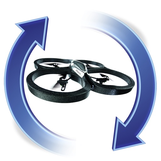
The app manages firmware for AR.Drones, allowing upgrades and downgrades to any version. It sends push notifications when new firmware becomes available.