

Apps Like Topographic Maps & Trails for iPhone and iPad
Download for offline use
View and navigate USGS and satellite imagery. Download for offline use. Track hiking routes and save locations. Access detailed terrain and elevation data.
Topographic Maps & Trails screenshots
Ranked alternatives
Showing 141–160 of 1,000 ranked alternatives.

Where to Find Gold and Silver
Slava Barouline
Locate mines and view locations
Locations for , , platinum, and gemstone mines. View locations on a map. Access a global database of over 100,000 sites. Search by region or mineral type. Save and share mine locations.


Desert Maps: Navigator Offline
Rachid Smet
Navigate and explore remote areas
Navigate off-road trails and remote areas with maps and turn-by-turn directions. Mark waypoints, track routes, and view elevation data. Access terrain details and compass navigation without internet connectivity.

Topo Maps Canada
DC Cloud Apps, LLC
Download and view topography
View topographic of for hiking, camping, and outdoor activities. Choose between Base Map and Toporama sources. Download for offline use. Track location, elevation, and movement on the map.

RouteBreak
Makoto Katsumata
Navigate with real-time time and distance updates
Navigate using drive and walk routes with real-time time and distance calculations. Search by address, place, or coordinates. View satellite maps and direction. Share locations, use compass, and track GPS.

Go Map!!
Bryce Cogswell
Create and edit OpenStreetMap data.
The app allows users to create and edit information in OpenStreetMap. Users can add points of interest, streets, paths, buildings, and bodies of water, with full undo/redo support and offline capabilities.

Scenic Map Central USA
Mark Granger
Explore 3D maps offline worldwide
Navigate with a 3D topographic map of the USA. View detailed terrain and vector data offline. Use in vehicles or during outdoor activities. Access global maps online with automatic caching for offline use.
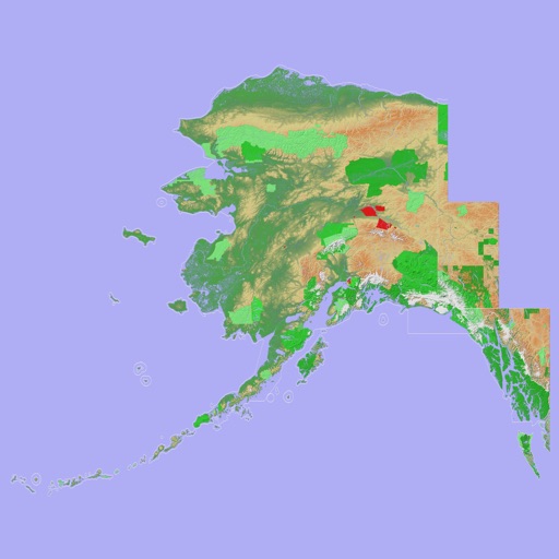
Scenic Map Alaska
Mark Granger
Explore 3D topo maps offline
View 3D topographic maps of offline with vector data. Navigate by car, boat, plane, or on foot. Access worldwide satellite maps online with automatic caching. Toggle between map types and zoom to any location.

PRO HUNT™
MiraTrex, Inc
Navigate with real-time GPS tracking
Track location and navigate using GPS. View real-time map movements. Share location with other hunters. Manage hunting areas and group activities. Access downloadable USGS topographical charts. Set and follow navigation points.

GPX Viewer PRO: Hike & Bike
Vectura Games OU
Import GPX and KML tracks
View and analyze GPX and KML files to explore existing tracks or plan new routes. Display detailed maps with waypoints, paths, and elevation data. Share tracks via email or social media. Sync with GPS devices for real-time navigation.


Hiking Map Poland
Mapa Turystyczna sp. z o.o.
Plan routes on trails
Plan routes along official trails in mountains and foothills. Display routes on detailed maps with terrain shading and points of interest. Show route length, estimated time, elevation profile, and current location. Download maps for offline use.

BRMB Maps by Backroad Maps
Mussio Ventures Ltd.
Navigate with detailed topographic
Navigate using detailed topographic and over 900,000 searchable points of interest across Canada. Plan routes, view terrain features, and access trail information. Mark locations, save waypoints, and track progress. Share and coordinates with others.

Maldives GPS Map Navigator
Flytomap
Explore maps without mobile coverage.
The app provides worldwide marine and outdoor maps, satellite imagery, and terrain overlays. It includes local marine weather forecasts and community information for boaters.

Maine Lakes - GPS fishing maps
Flytomap
Navigate with marine and outdoor
Navigate with marine and outdoor offline. Overlay satellite and terrain data on charts. Access local weather forecasts. View worldwide and satellite imagery when connected. Use NOAA raster data for detailed navigation.
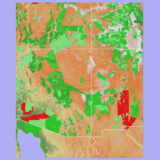
Scenic Map Grand Canyon
Mark Granger
Explore landscapes in three dimensions.
The app provides 3D topographic maps for iPad and iPhone. Vector map data is contained within the app for offline use, supporting navigation in various environments.


CoMaps
Anton Wenemoser
Plan trips and navigate offline
Navigation allows users to plan trips and navigate without cellular service. View and edit maps based on OpenStreetMap data. Search waypoints and save locations offline. Track routes and share maps. Prioritize privacy with no user identification.
How we rank alternatives
Apps are ranked by functional similarity, category fit, rating confidence, and popularity.