

Apps Like Topographic Maps & Trails for iPhone and iPad
Download for offline use
View and navigate USGS and satellite imagery. Download for offline use. Track hiking routes and save locations. Access detailed terrain and elevation data.
Topographic Maps & Trails screenshots
Ranked alternatives
Showing 601–620 of 1,000 ranked alternatives.

Altimeter GPS+ (Speedometer)
Tigran Mkhitaryan
Share location links instantly
Track elevation and climb rate in real-time. Calibrate altitude settings and check GPS accuracy. Send location links via SMS for easy sharing and navigation assistance. View maps in web browsers for location tracking.

Military Compass+ Lite
Elen Bekzadyan
Track orientation with real-time compass data
Provides real-time device orientation based on magnetic fields. Allows switching between true and magnetic north. Displays compass direction and azimuth. Includes declination information. Offers tilt sensitivity settings.



GPS Tracker - Mobile Tracking, Routing Record
Sinoway International Industrial Limited
Track people and devices easily.
The app provides GPS position tracking for concerned people and devices. It logs date, time, GPS data, location address, and offers routes using Apple and Google Maps.




Live GPS Land Area Calculator
Muhammad Asad Khan
Measure areas and distances with GPS
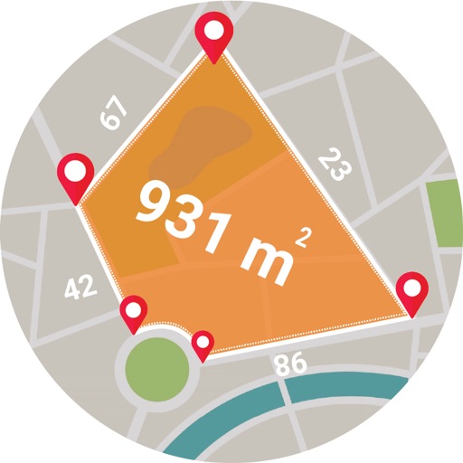
Calculate areas, plots, and distances using GPS technology. Draw and map regions on a map. Measure perimeter and of custom shapes. Save and share measurement data. Export maps in various formats.


Sentres
Outdooractive AG
Plan, record, and share outdoor routes.
The app offers a global trail database with route suggestions for various outdoor activities. Users can plan, record, and share routes, with features like navigation and real-time location sharing for safety.

Poison Maps - Southern Europe
Ian Muriss
Points of interest anywhere in Europe.
The app displays millions of points of interest and thousands of miles of routes across several European countries. It offers offline access to all data, including hotels, attractions, and various route types like hiking trails and railways.

Swiss Pro Map
Garzotto GmbH
Offline maps for Switzerland and Alps.
The app provides offline maps of Switzerland and the Alpine region, including hiking trails and public transport. It offers features like altitude display, distance measurement, and route recording for outdoor activities.


How we rank alternatives
Apps are ranked by functional similarity, category fit, rating confidence, and popularity.