

Apps Like Topographic Maps & Trails for iPhone and iPad
Download for offline use
View and navigate USGS and satellite imagery. Download for offline use. Track hiking routes and save locations. Access detailed terrain and elevation data.
Topographic Maps & Trails screenshots
Ranked alternatives
Showing 561–580 of 1,000 ranked alternatives.


Coordinates
Hunt Mountain Software
Convert and share location data.
The app converts between decimal degrees, degrees and decimal minutes, degrees-minutes-seconds, and UTM coordinates. It shows the user's current GPS precision and allows them to copy or send their location.


PicPosition
YOURFULLSTACK, LLC
Capture and share location data with photos
Capture photos and overlay custom titles, MGRS grid, coordinates, UTC/local time, and altitude. Choose which data to include. Save images or share them via text.

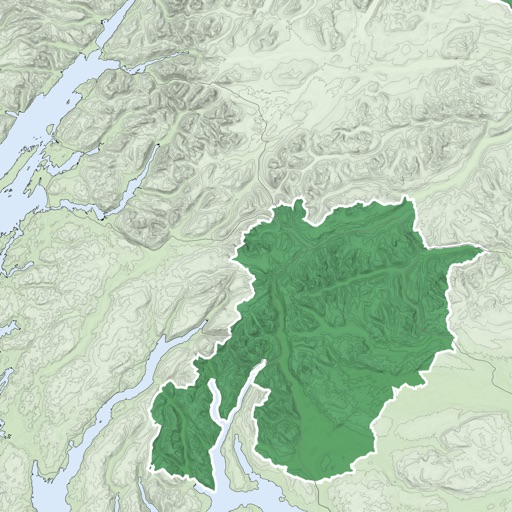
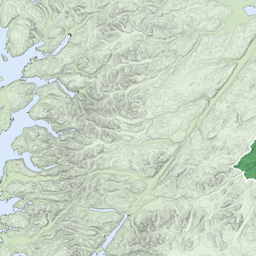


Globe View - Live Street Maps
Isha Bhingradiya
Explore , satellite imagery, discover locations
Global with satellite imagery and topographic details. Explore nearby locations and access real-time data. Zoom in for detailed views and switch between map and modes. Track locations and save favorites for future reference.


Hikely - Hike, Bike, Run
猛 王
Track hikes, analyze stats, conquer trails
Track hiking routes with recording features and analyze performance data. Receive personalized recommendations. Set goals and explore a large trail library.
How we rank alternatives
Apps are ranked by functional similarity, category fit, rating confidence, and popularity.