

Apps Like Topographic Maps & Trails for iPhone and iPad
Download for offline use
View and navigate USGS and satellite imagery. Download for offline use. Track hiking routes and save locations. Access detailed terrain and elevation data.
Topographic Maps & Trails screenshots
Ranked alternatives
Showing 241–260 of 1,000 ranked alternatives.



Traseo. Tourist routes & maps
Amistad Spolka Z Ograniczonia Odpowiedzialnoscia
Plan , navigate, and explore
Plan using offline and save them to My Map. Pin points of interest with descriptions and photos. Navigate existing or to any location. Record trips and display elevation graphs. Export as .gpx files. Integrate with Garmin. Buy professional .

Mappa - Watch Maps
Nick Romano
Track workouts, view metrics, export routes
Record workouts with heart rate, speed, elevation gain, and other metrics. Import and export GPX and FIT files. View offline with custom tiles. Overlay routes from GPX, FIT, KML, or GeoJSON files. Generate walking and cycling directions.

Backtrack: GPS Adventure Maps
Slope LLC
Plan routes, share locations, navigate trails
Create and share by drawing routes and adding markers for campsites and start points. Collaborate with others to edit and view in real time. Navigate trails, track progress, and receive turn-by-turn directions.

Light Pollution Map
Jurij Stare
View VIIRS data and track
View VIIRS and DMSP satellite data with customizable overlays including clouds, auroras, and IAU observatories. Display SQM and SQC measurements for . Add personal SQM readings via email. Track radiance changes over time.



GoSatWatch Satellite Tracking
GoSoftWorks Development Co.
Track satellites and view real-time passes
Track satellites in real time with world map and overhead sky views. Identify satellites and the International Space Station with orbit . Determine dish orientation for geostationary satellites using GPS. View passes for any location.

Live Earth Map: Street View
Sanket Rola
Track locations in real-time 3D
3D maps with high-resolution terrain details. Track real-time GPS locations. Explore satellite imagery and active satellite data. Navigate through cities and rural areas with detailed landscape visuals.

VT Trails
Tyler Elko
Explore Vermont's scenic trails confidently.
The app provides statewide USGS topographic maps and over 2,000 labeled trails for hiking, walking, and biking. It features a detailed track of Vermont's Long Trail with over 600 points of interest, including water sources and shelters.
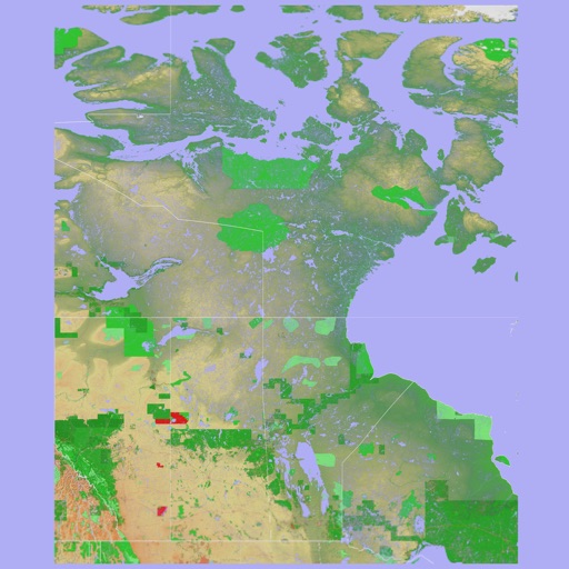
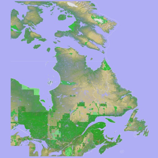
Scenic Map Eastern Canada
Mark Granger
3D topographic map of Eastern Canada
The app presents a 3D topographic map of Eastern Canada. Users can download map data for use without an internet connection, suitable for various travel methods.

LuckyFind: Metal Detecting App
Stuck at Home, LLC
Track routes and log finds with GPS
Track routes using GPS navigation, pause and resume routes, and view route statistics. Log finds with details like name, category, and location. Take photos of finds. Toggle between satellite, hybrid, and standard maps.

Where2Go: GPS Photo Compass
Pavel Vorontsov
Navigate with GPS and saved points
Navigate using a GPS to any saved location. Save current position, input coordinates manually, or extract GPS from photos. View saved points history and export coordinates to Google or Apple Maps.
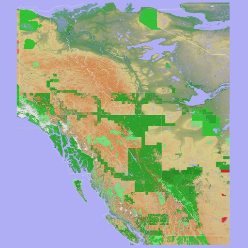
Scenic Map Western Canada
Mark Granger
3D topo map of Western Canada
The app provides a 3D topographical map of Western Canada. Map data downloads to the device for use without an internet connection, allowing users to view terrain features as small as ten meters.

TrailAware: Bike & Hike Trails
TrailAware, Inc.
Navigate with real-time maps
Navigate with real-time geospatial mapping and offline access. View detailed trail information, including elevation and difficulty. Mark favorite routes and receive turn-by-turn directions. Sync with GPS devices for accurate positioning.

Wildfire App-Fire Tracker・Maps
Savelii Stepura
Track wildfires and receive real-time alerts
Track wildfires in real time with maps showing current fire locations and spread. Receive alerts from verified sources including current and former firefighters. View detailed reports and updates from first responders and reporters.

How we rank alternatives
Apps are ranked by functional similarity, category fit, rating confidence, and popularity.