

Apps Like Mgrs & Utm Map for iPhone and iPad
Navigate with GPS and coordinates
Display current location using GPS, GALILEO, and GLONASS. View position on various map layers. Import and export KML files. Navigate with coordinate systems. Track movement during outdoor activities.
Mgrs & Utm Map screenshots
Ranked alternatives
Showing 161–180 of 1,000 ranked alternatives.

iLocation+: Here!
Jeonghwan Kim
Search and share location easily.
The app displays current location information automatically. Users can view coordinates, altitude, and addresses for current or specified locations, with options to change map formats and save locations.

Altimeter ∞ Elevation GPS
Chen-Yu Wei
Track with GPS precision
Track in meters or feet with real-time updates. Display GPS accuracy and battery usage. Works offline with a clean interface. Ideal for hiking, flight tracking, and outdoor activities.

GPS Area Measure: GLandGo
4Digsoft Technology Limited
Measure land and distance
Measure land , distance, and perimeter using GPS. Create projects, add team members, and sync measurements in real time. Set permissions for different roles and collaborate on shared projects. Export data and view detailed reports.
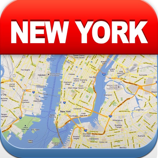
New York Offline Map
Green Lake Technology Ltd
Navigate NYC with maps
View maps of New City, including subway and airport routes. Navigate using real-time GPS without internet. Bookmark addresses for trip planning. Access top attractions and explore without data usage.

Speedometer GPS: Speed Monitor
Changsha Duyou Network Technology Co., Ltd
Track and navigate in real time
Track with high-precision GPS. Record trips and display real-time data on a head-up display. Receive speeding alerts. Navigate with integrated map support. distance, time, and elevation. Share trip data.

iHunter
Inside Outside Studios Inc.
Canada's all-in-one hunting app
The app displays hunting zones overlaid on various maps for users to determine their location and corresponding zone. Users can view open seasons for different game types and add personal waypoints, tracks, and drawings.

Find Me: GPS Coordinates +
Jason Attard
Get coordinates with GPS accuracy
Display and coordinates using iPhone GPS. View precise location data instantly. Features a clean interface for quick reading of coordinates. No unnecessary features or tabs.


Map Tools
Modular Machines LLC
Set coordinates and switch datums
Users can view and convert coordinates between multiple datums including WGS84, NAD27, and GDA94. Input locations manually or via GPS. Select source or target coordinate systems for conversion. Display locations on an embedded map.

Find Me: GPS Coordinates
Jason Attard
Locate your coordinates instantly
Display and coordinates using iPhone GPS. Show precise location data instantly. Provide clear, minimalistic interface for quick reading of geographic coordinates. No unnecessary features or tabs.

PRO HUNT™
MiraTrex, Inc
Navigate with real-time GPS tracking
Track location and navigate using GPS. View real-time map movements. Share location with other hunters. Manage hunting areas and group activities. Access downloadable USGS topographical charts. Set and follow navigation points.


Mapply for Open Street Map
Florian Chrometz
Navigate maps and explore routes
Explore maps with detailed satellite views, hiking trails, and topography. Navigate transport networks and view railway routes. Access terrain analysis and seas. Customize map layers for OpenStreetMap and tile-based maps.

Speedometer mph Odometer
SHIGETO TAKAGI
Track speed and distance with GPS
Displays speed and distance using GPS. Tracks maximum speed with vibration alerts. Shows position and time of maximum speed on a map. Switches between light and dark modes. Notifies of GPS measurement errors. Supports motorcycles, cars, and planes.

Street View 3D Live Google Map
Ekta Undhad
Explore streets with 360-degree views
Real-time maps and GPS locations. Access satellite imagery and 360-degree views for global exploration. Navigate streets with turn-by-turn directions. Track current location and update maps in real time.

GCTools
Achim Heynen
Geocaching tools for multi mystery caches.
The app provides tools for geocaching, including coordinate manipulation, cipher decoding, and interactive data tables. It offers various coordinate conversions and map interface options.

Measure Map GPS Field
Tigran Mkhitaryan
Areas and routes on the map
Distances, areas, and routes on maps using standard, satellite, terrain, and hybrid views. Calculate total area between points or along a route. Display coordinates in UTM and MGRS formats.


iSailGPS : NOAA USA RNC Charts
James Associates Inc.
Plot courses and track your route
Use device as high-performance GPS receiver with USA Raster Nautical . Access without cell signal. Navigate safely in emergencies. Sync with chart plotter if available. Download for offline use. Track location and display real-time data.
How we rank alternatives
Apps are ranked by functional similarity, category fit, rating confidence, and popularity.