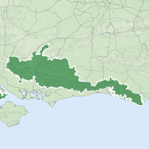
Display current location using GPS, GALILEO, and GLONASS. View position on various map layers. Import and export KML files. Navigate with coordinate systems. Track movement during outdoor activities.
by Vahid Cataltas★ 4.62,538 ratingsNavigationFreeData updated 2026-09-16
The app provides detailed hiking maps with marked trails and ski tracks. Users can find trip suggestions, cabins, and destinations, and save them to personal lists for planning outdoor adventures.
View global weather maps with fluid animations and interactive layers. Track weather patterns, monitor precipitation, and analyze temperature changes. Set location-based alerts and access detailed forecasts for multiple regions.
Determine the bearing of objects by pointing the iPhone at them. A vertical line shows the bearing. Tap to switch between true north and magnetic north. Uses built-in sensors for orientation without internet.