Track real-time locations of members using phone numbers. Set up alerts for changes. Share maps with contacts. View movement history and receive notifications when someone arrives at a destination. Enable or disable sharing remotely.
Provides precise readings with deviation error measurement and correction. Displays map navigation and augmented reality features. Tracks map markers and functions in all device orientations.
Track flights by logging and improving them using Vario with sensor fusion and sound alerts. Monitor ground speed, altitude, wind speed, and direction. View live maps and fly with friends. Sync with Apple Watch.
Create and manage travel tracks with waypoints. Import and export maps in .gpx format. Use with unlimited storage. Access background barometer and pedometer data. Display color gradients for speed and height.
Navigate to any destination with turn-by-turn directions and route planning. View real-time traffic updates to avoid delays. Get voice-guided directions and adjust routes on the fly.
Measure areas, distances, and perimeters with precise pin placement. Mark and save measurements, name and group them for easy access. Share measured maps with colleagues directly.
Find rental properties using location-based search. View property photos in full screen. Contact landlords directly. Navigate to property locations. Save favorite listings. Receive notifications about new listings in your area.
Enter MGRS or coordinate data to navigate to specific points. Adjust pace count and track deviations. View distance, speed, and angle settings in meters/km or feet/miles. Analyze movement patterns for navigation improvement.
Track location and movement with GPS. View USGS, US Forest Service, and Canadian . Log trails and waypoints. Navigate offline in areas without cell signal. Display elevation and terrain details. Share route data and historical tracks.
Navigation provides GPS tracking, map navigation, and route planning. Includes tools, field manuals, and live conflict updates. Users can access guides, track locations, and receive real-time news.
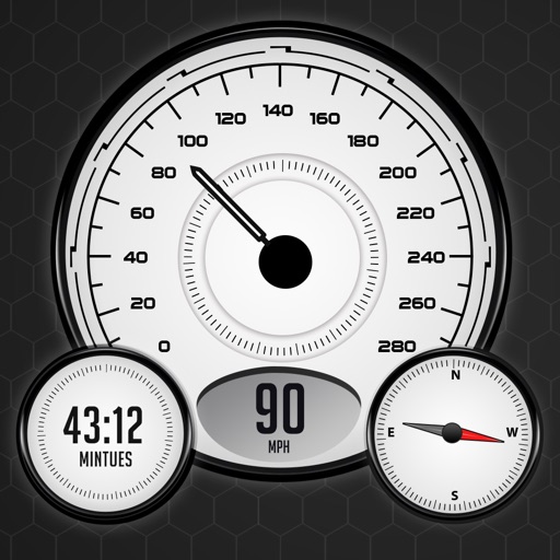
View current in mph, km/h, knots, and other units. Display altitude above sea level. Track max and altitude during trips. Monitor distance traveled in trips. Check on Apple Watch. Pro upgrade unlocks custom colors, HUD mode, and ad removal.
The app provides truck-specific routes for U.S., Canada, and Mexico. It offers turn-by-turn voice instructions, lane guidance, and navigation in various map views.
Provide turn-by-turn voice with real-time traffic updates. Display live maps and satellite views. Access offline maps and GPS directions without internet. Find local food, events, and activities. Use Google Street View for detailed street-level .