Plan flights with detailed route mapping, weather data, and fuel calculations. Access real-time weather briefings and interactive charts. Log flight details and manage preflight checklists. Sync with avionics for consistent navigation.
The app transforms devices into a compass with a rustic aesthetic and user-friendly interface. It provides location, altitude, and orientation using device sensors for navigation and everyday use.
Calculate -related conversions, fuel consumption, and navigation metrics. Perform arithmetic operations and unit conversions. Track time, distance, and speed. Sync with Apple Watch for real-time updates.
Control vehicle features via Apple Watch and Siri/Shortcuts without opening the . Monitor car stats remotely. Automate commands based on triggers like driving, charging status, or Bluetooth connections. Manage NFC tags for quick actions.
Navigation allows users to view direction aligned with satellite imagery or maps. Displays street address, GPS coordinates, elevation, and What3Words codes. Taps switch between satellite and map views. Pinch or spread to zoom.
Track elevation and atmospheric pressure with and barometer. Use compass for direction based on satellite location. Access weather updates and speedometer. Log steps with pedometer. View maps and use binoculars for scouting.
Access aviation courses, including FAA handbooks, FAR/AIM, and practice tests. Watch HD/4K videos. Sync with Apple devices. Track progress through interactive lessons. Earn a certificate with structured course content.
Display data from wireless devices like iLevil3 or B.O.M. alongside navigation apps. Customize instrument panels and arrange modules for real-time flight information.
Track aircraft positions in real-time using ADS-B data. View live paths, altitudes, and speeds. Search for specific planes by identifier. Receive alerts for nearby flights and airspace changes.
View and convert geographic across multiple formats and datums. Manage locations with an intuitive interface. Display current location at the intersection of two grey lines. Export in various global systems.
Provide accurate GPS coordinates and altitude readings. Display direction and map integration. Enable location-based reminders and track movement routes. Adjust settings for different navigation modes.
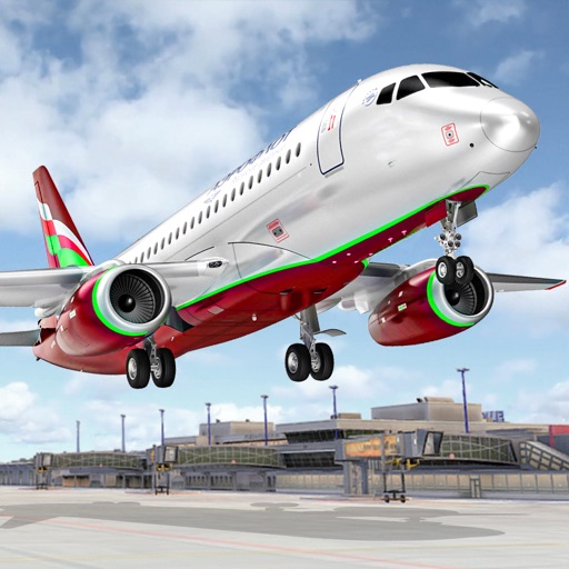
Control an to perform stunts and navigate through checkpoint rings. Transport passengers between cities and complete assigned tasks. Customize aircraft settings and manage in-game missions.
Weather "View current conditions, forecasts, and radar maps. Set location-based alerts. Customize notifications for severe weather. Share forecasts with others."
Allow users to explore locations without an internet connection. They include detailed global with millions of points of interest. Users can download for use and bookmark favorite locations. GPS tracking enables recording of travel routes.