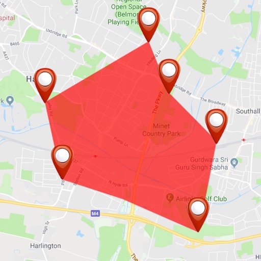
Track assets globally with real-time location and ignition status updates. View unit movement data and check data accuracy. Access units, geofences, and event markers on a map. Detect own location and monitor precise location and parameters.
Survey points, lines, and polygons with GPS tracking. Log full GPS data for fields. Create quickmarks during surveys. Visualize data in map view. Use internal or external GPS devices.
Stream live video, record footage, capture photos,
Capture photos and videos while driving. Control camera settings and start/stop recording. Stream live footage to share in real-time. Save and manage media files directly within the .