Turn your phone into a with precise inclination measurement. Use camera integration to measure lengths and angles. Adjust settings for different leveling tasks and save measurements for future reference.
The app offers tools for home decoration, picture alignment, and angle measurement. It can also be used for slope projection and checking the verticality of partitions or furniture.
The app provides a visual, easy-to-use, and convenient database of color names. It functions as a built-in assistant with a massive base of color names and allows users to search and view the color database.
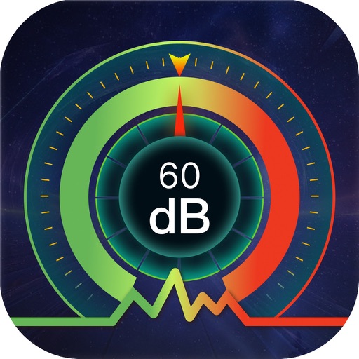
Measure sound levels using the built-in microphone. Display decibels in dBA with a digital readout. Show minimum, average, and maximum values. Visualize sound levels with a graph line.
Measure angles and level machines using Bluetooth connectivity. Perform 2-axis simultaneous levelling and 2D alignment. View 360-degree bubble for precise adjustments. Sync with Cube for real-time feedback.
Measure lengths, areas, heights, and distances using on-screen tools. Use the protractor, unit converter, and for precise calculations. Check light levels, calibrate screens, and measure decibels.
Allows users to slow down audio, loop specific sections, and adjust pitch. They can isolate instruments using EQ, tempo while preserving sound quality, and export loops for practice.
Use the camera to object sizes, room areas, and shopping items. Capture images and receive precise dimensions with AI accuracy. View detailed measurements and compare sizes instantly.
Measure distances, land areas, and perimeters using satellite maps. Calculate perimeters and track outdoor projects. Measure routes for biking, golfing, or racing. Save and share measurement data.
OPTIMIZE IT BILISIM VE YAZILIM TEKNOLOJILERI LIMITED SIRKETI
Find studs, check levels, measure angles
Detect metal objects in walls using five presets for different materials. Receive real-time feedback via visual, sound, and haptic alerts. Measure angles and check levels with an accurate bubble level. Includes magnetic for precise detection.
Arthur Eduardo Skaetta Alvarez Desenvolvimento de Software LTDA.
Distances and areas with GPS
Distances and areas using satellite images. Tap the map to add markers and calculate distances or enclosed areas. Search for addresses to locate measurement points. Support multiple units including square feet and square meters.
Measure with real-time readings and +/- 1 dB accuracy. Log and analyze noise data over time. Set custom thresholds and receive alerts. Export measurement logs in various formats. Sync data with cloud storage for long-term tracking.