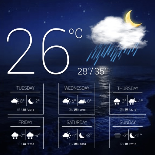
Access real-time data with high-resolution radar and satellite imagery. View current conditions and forecasts updated hourly. Add and save favorite locations. Use integrated GPS for location-based alerts and tracking.
Access real-time data from NOAA, Wunderground, Openweather, and DarkSky. View four live forecasts, check radar maps for detailed conditions, and search by city name or GPS coordinates.
BALLISTIC SOLUTIONS RESEARCH & DEVELOPMENT SOFTWARE SIARHEI RAICHONAK
Jet your with precise settings
Provides recommendations for 125 Max non-EVO engines based on temperature, altitude, humidity, atmospheric pressure, and engine configuration. Displays carburetor type and restrictor options.
The app provides access to station content for mobile users. It includes 250 meter radar, future radar, satellite imagery, current weather, and daily/hourly forecasts.
Calculate groundspeed, true heading, compass heading, leg time, distance, fuel required, fuel flow, and endurance for flight planning. Convert airspeed, altitude, and temperature.
Tracks location, speed, altitude, heading, acceleration, g-force, and atmospheric pressure. Displays and records current weather. Plays back tracks at multiple speeds. Provides suggested routes for reference. Allows pausing and resuming tracking.
Access real-time updates multiple times per hour. View high-resolution radar and satellite imagery. Add and save favorite locations. Receive hourly forecasts and severe alerts. Use integrated GPS for location-based data.
View current updates multiple times per hour. Access high resolution satellite cloud imagery and 250 meter radar. See future radar for severe direction. Get daily and hourly forecasts updated hourly. Add and save favorite locations.
View current updates multiple times per hour. Access high-resolution satellite cloud images and 250-meter radar with future storm tracking. Add locations for personalized forecasts. Receive detailed hourly and daily predictions from computer models.
View real-time and forecasted images for land and sea. Check precipitation maps and track patterns. Receive hyperlocal updates. Set location-based alerts. Share data with others.
Record and display GPS-based measurements with a map line. Share results on social media. Obtain current location via GPS. Option to minimize battery use without GPS. Does not run in the background.