Provide real-time GPS navigation with turn-by-turn voice guidance and live traffic updates. Display speed limits and alert drivers to traps. Access offline maps for areas without internet. Share routes and track progress during trips.
The app turns a phone into an OBD2 code reader and car scanner. It reads fault codes with explanations and monitors live data for diagnostics and checks.
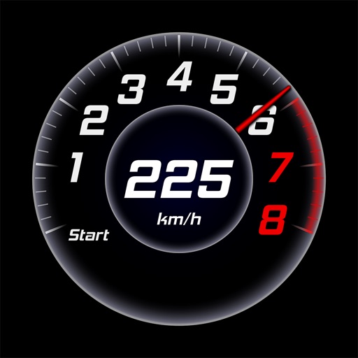
Monitor speed, direction, and altitude with a , compass, and altimeter. Customize color schemes, fonts, and orientation. Switch between light and dark modes.
View topographic of with detailed scale options and lake depth information. Access property data via in- purchase. Download for offline use. Navigate using precise map data and location features.
Records and displays real-time location data. Users can monitor distance, speed, and duration during activities. It supports multiple modes including walking, running, cycling, driving, and boating. Live tracking shows routes on a map.
The app records GPS tracks, allowing users to save routes and add photos, videos, and voice notes to locations. Users can share routes with others, import GPX files, and navigate along recorded paths with real-time guidance.