

Apps Like NaAVIC for iPhone and iPad
NaAVIC screenshots
Ranked alternatives
Showing 521–540 of 1,000 ranked alternatives.

WWF Nautical Chart
WWF Deutschland
Navigate waters and view sensitive zones
Locate position in Wismar Bay and Bay of Greifswald. Display sensitive areas and boating rules within Natura 2000 zones. Show real-time status of protected area boundaries.

Wild Game Tracker
Nevin Morrison
Track and navigate wilderness
Track and mark wildlife such as big , fish, predators, small , and birds with a long press. Sort markers by time periods and save images for reference. Draw boundaries to identify property lines and store landowner information.




AU Tides: Tide Times & Chart
Changrong Yao
Offline tide times for Australia.
The app provides tide times for over 600 Australian locations, functioning offline without a signal or data connection. It includes interactive tide graphs, sunrise, sunset, moon phase, and Apple Watch support.

South Africa Tides & Charts
Changrong Yao
Check and track your location
Find tide times and heights for coastal areas in . Search for locations by name or select nearest ones. View tide graphs in meters or feet. Save favorite locations for quick access. Function without an internet connection.


Tide Graph
Brainware LLC
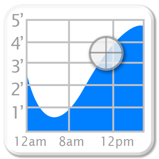
Interactive graph of ocean tides.
The app displays harmonic tide predictions from US coastal stations using an interactive graph. It also provides water current and sun/moon data.


How we rank alternatives
Apps are ranked by functional similarity, category fit, rating confidence, and popularity.