Plan trips by viewing real-time schedules and route maps. Book rides for fixed-route buses, Paratransit, MicroDash, McLennan County Rural , and Evening Link. Track vehicle locations and receive service updates.
Direccao dos Servicos de Assuntos Maritimos e de Agua (Marine and Water Bureau)
Maritime information for citizens and tourists.
The app provides maritime information for citizens and tourists. It offers real-time sailing data, schedules, sea condition cameras, tidal information, navigation notices, and terminal service details.
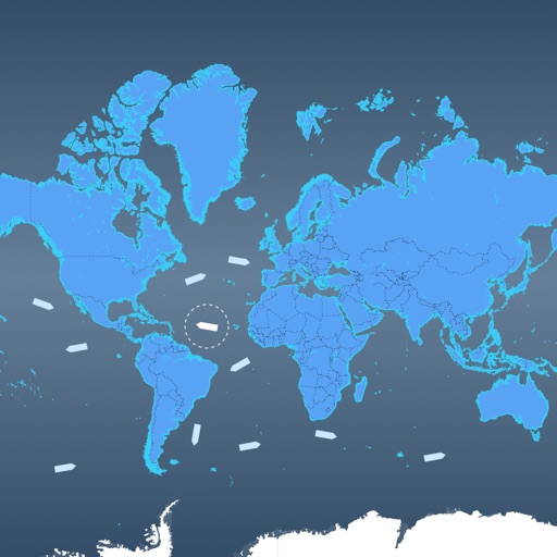
The app provides worldwide marine and outdoor maps, satellite imagery, and terrain overlays. It offers local marine weather forecasts, tide data, and wind information, functioning without mobile coverage.
View marine with satellite and terrain overlays. Access local weather forecasts. Use NOAA raster for navigation. Track position and route. Share maps and waypoints. Work offline without mobile coverage.
Navigate with up-to-date maps and aerial images of and . View fishing spots and manage routes with intuitive waypoint storage. Record tracks and use the MOB safety feature. Zoom and pan for detailed chart views.
Find fishable streams across the U.S. with real-time stream data and weather forecasts. Locate access points and parking. View special regulations. Search for nearby fly shops and stream gages. Track catch and release activities.