Navigation provides turn-by-turn driving directions with live traffic updates. Download and use without internet. Explore new locations with detailed content. View traffic conditions to avoid congestion. Save and access without limits.
Explore electricity generation and delivery systems.
The app explores electricity generation and delivery systems. It introduces electromagnetism and demonstrates current and future energy systems through interactive structures and informational photographs.
Find marinas with detailed facility information. Locate nearby stations, floating restrooms, and dump stations. View real-time locations for mobile pumpouts. Switch between map and list views to check hours and other details.
Record photos and videos with real-time data overlays. Use augmented reality for navigation. Access proven navigation and image processing technologies. Capture geospatial data during recordings. Share media with embedded location and time stamps.
Find available parking lots on campus using live lot info and interactive maps. Filter options let you search by permit type and time. View lot details including location and availability. Navigate to selected lots with directions.
Access evidence-based analysis of efficacy and safety. Scan product barcodes for detailed reviews. Search a comprehensive database of supplements. Understand scientific research behind ingredient claims.
Learn COLREGS rules through interactive visuals and memory aids. Practice exam answers with customizable quizzes. Track progress with built-in assessments and review tools.
Users can check in daily with mood tracking and journaling tools. Access guided exercises and mindfulness activities. Connect with a supportive community. Receive professional support through chat or video sessions.
Provide offline with detailed points of interest. Record GPS tracks and bookmark locations. Receive turn-by-turn navigation with voice instructions in nine languages. Choose routing options for driving, cycling, walking, or shortest distance.
Locate buses and streetcars on real-time maps for multiple transit systems. Filter vehicles by route or view all. Track estimated arrival times at stops. Update locations every 10 seconds. Share trip details via social media.
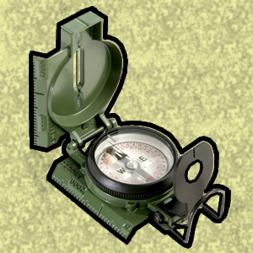
Enter MGRS or coordinate data to navigate to specific points. Adjust pace count and track deviations. View distance, speed, and angle settings in meters/km or feet/miles. Analyze movement patterns for navigation improvement.
The app allows users to navigate using real-time imageries like sea surface temperatures and currents. It provides GPS location and point-to-point navigation on dynamic maps, even outside of cell range.