The app uses location services to track train travel progress. It alerts users when they are near their destination and provides information about stations and cities along the route.
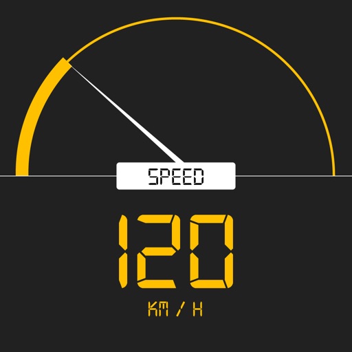
Tracks current, maximum, and average speed using GPS. Displays speed in analog and digital formats with colorful LED. Records distance traveled and trip time. Functions as a trip meter and for vehicles, walking, running, biking, and boating.
The app displays real-time bus arrival predictions for Madison using live Madison Metro data. Users can view nearby stops, check next buses, save selected stops, and receive service alerts for detours and delays.