Track tides and marine weather with real-time forecasts and buoy observations. View NOAA marine reports and weather data. Plan activities like fishing, boating, or beach trips. Set alerts for changing conditions.
Plan flights with detailed weather data, airport information, and NOTAMs. Overlay georeferenced charts on aviation maps. Access IFR and VFR plates for over 200 countries. Manage and download airport plates in advance.
Navigation provides offline global maps for iPhone and iPad. Users can draw routes, view elevation profiles, and access detailed terrain maps without internet. Hikers and cyclists benefit from specialized route networks and clear map details.
Track routes for hiking, running, cycling, and other activities with GPS. View recorded paths on maps. Save favorite locations for quick access. Measure distance, speed, and elevation. Export data in various formats.
Calculate prayer times and astronomical data for Muslims. Track anti-transit, sunrise, sunset, and other celestial events. Display times for Fajr, Zuhr, 'Asr, Maghrib, and 'Isha. Include shar'i night calculations and planetary positions.
Track workouts with heart rate, distance, elevation, and pace data. Log activities like hiking, cycling, swimming, and running. Generate detailed graphs for performance analysis. Sync data with Apple Health. Set goals and monitor progress.
Measure geographical orientation with a precise . Display longitude, latitude, altitude, weather, and magnetic field data. Record location points and view saved travel history.
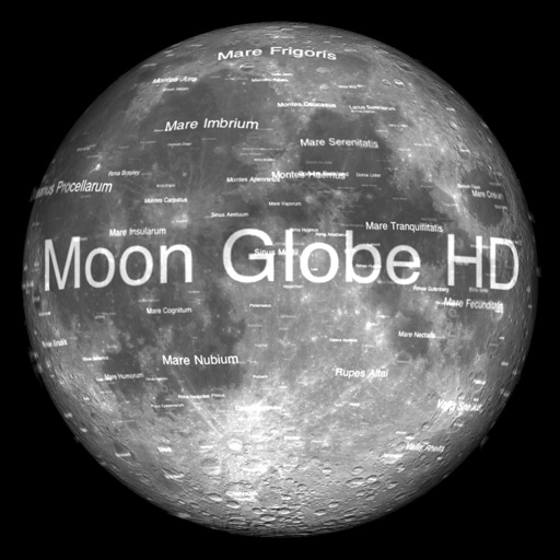
The app displays Earth's Moon in realtime 3D using satellite imagery and topographic data. Users can manipulate the view, switch to Telescope mode, and adjust the display time to observe shifting sunlight on the lunar landscape.
Navigation allows users to view and share GPS coordinates in six formats. It includes a , altitude, distance, and sunset/sunrise tracking. Users can set and edit waypoints with photo or audio notes.
Record cycling rides with offline maps and GPS tracking. Add routes via GPX files or existing rides. Overlay routes on maps. View climb categories and ride history without internet. Import photos and attach to rides. Sync with Health .
GPS measures and displays speed for walking, jogging, cycling, cars, boats, trains, and airplanes. Users can select display units and choose between two scales. Trip recording and average speed tracking are available.
Explore maps with detailed satellite views, hiking trails, and topography. Navigate transport networks and view railway routes. Access terrain analysis and seas. Customize map layers for OpenStreetMap and tile-based maps.
PRO HD helps users locate satellites by pointing their device skyward. It displays available satellites and their parameters. Users can sort satellites by name or frequency. Search functionality allows filtering by channel, radio, or provider.
Distances on maps by tapping to add route points. Calculate length of roads, buildings, or areas. Get accurate calculations without needing existing routes or ground features.
Receive and transmit real-time AIS data to track nearby vessels and avoid collisions. Share your position with others. Get collision warnings based on real-time ship movements.
Display directions and current location data. View altitude, barometric pressure, and coordinate details. Navigate using coordinates and save location bookmarks. Track sunrise and sunset times. Show solar elevation and azimuth angles.
Track mountain bike rides with GPS to record speed, distance, elevation, and analytics. View trail details, difficulty ratings, and save routes. Share rides, on segments, and earn achievement badges.