BEKART TECH BILISIM TEKNOLOJI INSAAT TICARET LIMITED SIRKETI
Find direction and prayer times
Find direction with accurate guidance. Set vibration or sound alerts when aligned. View prayer times and locations. Track daily prayers and receive reminders. Share location with others for prayer coordination.
Measure with high precision using internal sensors. Display directions and elevation changes. Track location and movement patterns. Set alerts and receive notifications. Sync data with external devices for detailed analysis.
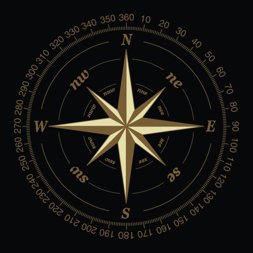
This displays directions in Japanese or English with a single tap. It shows 16 directional points, precise angles in degrees, and supports switching between cardinal names and abbreviations.
Provides a 3D floating with realistic OpenGL graphics. Users can switch between nine modes, including direct read, traditional, and rosette styles. It displays degrees, quads, or mils.
Track real-time speed and power using a digital . Monitor maximum and average speed during trips. Use a to determine direction, view altitude, and track coordinates.
Track location data without internet connectivity. View date-wise location history on your . Access current location to record movement. No personal data is uploaded or shared. Monitor activity logs directly from the .
Navigation provides GPS tracking, map navigation, and route planning. Includes tools, field manuals, and live conflict updates. Users can access guides, track locations, and receive real-time news.
Track location, altitude, and direction with real-time map updates. View geographic coordinates, address, and atmospheric pressure. Use a detailed compass for navigation. Share photos with altitude, coordinates, and address data.
Displays wind rose and location details including name, latitude, longitude, and altitude in meters or feet. Saves position data for any global location. Requires location services to detect geographical position.
Share real-time location with contacts via phone number or email. View others' locations from any web-enabled device without needing an . Request ' locations or share your own for tracking.
Track elevation and climb rate in real-time. Calibrate altitude settings and check GPS accuracy. Send location links via SMS for easy sharing and navigation assistance. View maps in web browsers for location tracking.
Track vehicle speed with a digital speedometer showing current, average, maximum speed, and total distance. Use offline mode for uninterrupted performance. Access two HUD modes for windshield display. Choose from 10 themes for customization.
Photos with GPS data including , time, weather, and compass. Share geotagged photos with contacts. Add map markers, latitude, longitude, and altitude to images. Stamp photos with date and time. Sync data with captured photos.