Track and mark wildlife such as big , fish, predators, small , and birds with a long press. Sort markers by time periods and save images for reference. Draw boundaries to identify property lines and store landowner information.
by Nevin Morrison★ 4.25 ratingsNavigationFreeData updated 2026-09-15
Measure distances and angles using a rangefinder and inclinometer. View GPS coordinates and map overlays. Take geo-tagged photos and videos. Use a compass and navigation calculator for orientation and route planning.
View real-time GPS location and track movement. Access marine charts, weather forecasts, and tide information. Plan routes with smart routing features. Set and monitor alerts. Share coordinates and waypoints.
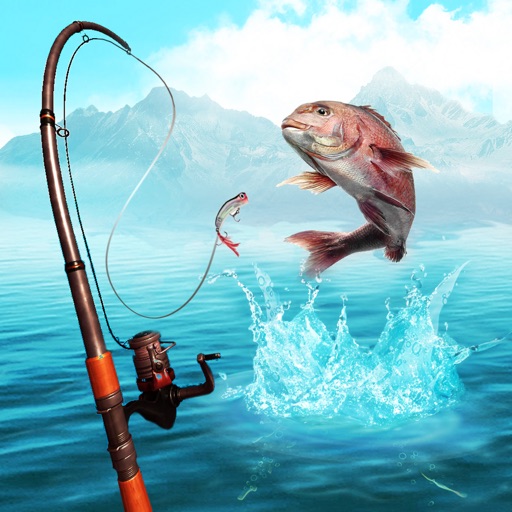
Catch fish in scenic locations by casting a line and controlling the fishing rod with a finger. Track caught fish, upgrade equipment, and explore new environments to increase success chances.
Access GPS navigation and land ownership data for fishing. Locate lakes with detailed fisheries information. View satellite imagery and apply filters for ice fishing. Find trails, access points, and land ownership details.
Plan and execute backcountry trips with detailed topographic maps. Customize maps for specific activities. Download and compare maps for offline use. Combine overlays to adjust map views. Build routes with smart tools.
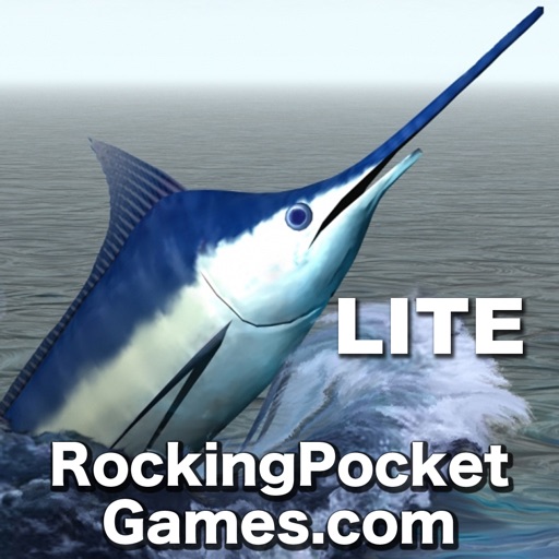
Catch fish in realistic 3D environments with detailed animations and physics. Navigate through various ocean levels to target species like swordfish, shark, and marlin. Upgrade equipment, manage resources, and track progress through different zones.
Track location and navigate back to a marked waypoint using directional guidance. Measure distance to the waypoint in meters. Save multiple waypoints for future reference. Share coordinates with others for group navigation.
Access fishing regulations and seasonal restrictions for State waters. View species-specific rules, required licenses, and catch limits. Check closed areas and bag limits. Download printable permits and maps.
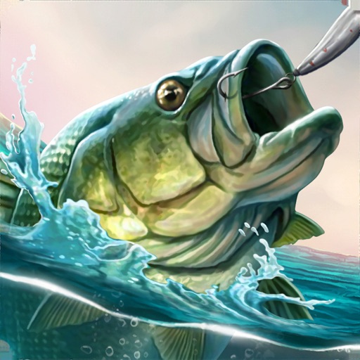
Use the iPhone's accelerometer to cast, jig, and aim lures. Catch various fish species. Customize lures with different actions. Fight fish using motion controls. Track caught fish and progress.
Plan routes, share locations, and navigate off-grid
Plan and execute missions with real-time GPS navigation, coordinate teams through integrated communication tools, and manage tasks with mission-specific software. Track location, receive alerts, and access offline maps for remote operations.
Track shipments in real time with load details and location updates. Access 24/7 load board to find matching routes. Upload documents and receive payments directly from the . Manage jobs and view progress within a single interface.