Record GPS tracks to monitor progress and navigate back. Download offline maps for street, topographic, and satellite views. Save and share route data. Measure distances and elevations. Use compass and waypoints for accurate .
Track and mark wildlife such as big , fish, predators, small , and birds with a long press. Sort markers by time periods and save images for reference. Draw boundaries to identify property lines and store landowner information.
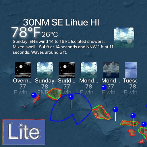
Access real-time weather and ocean data using GRIB files. Input sailing boat polar data and minimum engine speed for route planning. View forecasts, track storm movements, and analyze wind and wave conditions.
The app displays the current temperature and weather conditions for any desired location. It provides real-time, hourly, and daily forecasts, with temperature readings available in Celsius, Fahrenheit, and Kelvin.
The app offers over 20 themes with 3D rendered effects like light, water, and galaxies. Users can customize widgets for weather, date, and forecasts with adjustable positions, sizes, fonts, and colors.