View real-time conditions and incidents in using live data from FDOT. Access 2,245 cameras across the state. Save favorite cameras for quick access. Use map view to see current incidents and camera locations.
Display the current street name and update it as you move. Receive audio announcements when entering new streets. Long-press the map to label streets. Customise the dashboard layout and choose from multiple themes.
Find stops, save favorites, track vehicles, search
Find nearby stops with one click. Favorite stops for access across devices. Get real-time updates on vehicle schedules and positions. Search by stop name, number, or route. Maps are resizable for better control.
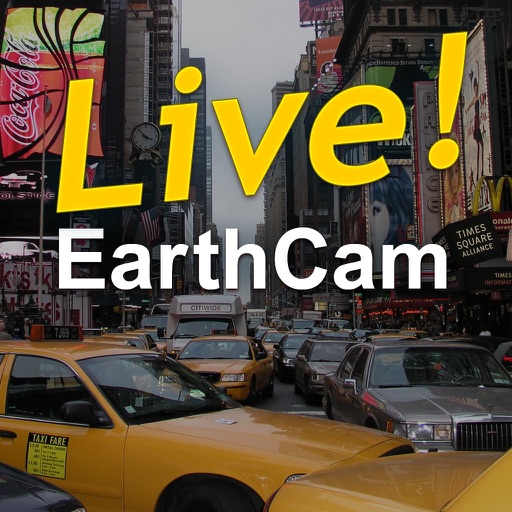
The app provides multiple live streaming webcam views of Times Square, including audio. Users can explore the area with an interactive map and share their location.
Matches passengers with nearby drivers for rides. Allows users to request a ride, view details, and track vehicle location. Enables drivers to accept trips and manage available services. Supports fare calculation and payment processing through the .
Track current with coordinates, altitude, and address. via Facebook, Twitter, Mail, Message, or copy to paste elsewhere. Use compass mode to determine direction. Toggle between Standard and Hybrid map types.
Navigation allows users to set a fixed starting point and adjust the map view. They can zoom, pan, and reset to the original location with a tap. Search results update only when the starting point changes.
Order , cancel bookings, and track vehicles on a map. Receive real-time updates on taxi status. Pay by cash or card. Schedule pickups for specific times. Earn reward points for bookings and payments through the .