The app helps children learn continents and oceans through audio and interactive puzzle maps. It features three puzzle types and is co-developed with a Montessori teacher.
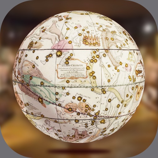
Explore historic globes in augmented reality. Move and rotate globes in 3D space. Zoom in and out for detailed views. Navigate around globes using screen controls. Access 7 different globes with historical details.
Calculate temperature and air pressure based on altitude. Read current altitude via GPS or ASTER data. Access device barometer for pressure readings. Search for any location's altitude using GeoNames. Manually adjust altitude settings.
Explore lunar landing sites with 360-degree panoramas. Rotate device to navigate terrain. View the Sun and Earth in real-time. Listen to mission audio and optional narration. Add annotations and interact with virtual elements.
The app displays a 3D globe of Mars with zoomable labels and feature information. Users can adjust Mars' phase, tilt, and central meridian based on location and time, with a searchable database for features.
Learn basic vocabulary through interactive lessons on numbers, colors, and shapes. Engage with animated characters and auditory exercises. Play vocabulary games to reinforce learning. Track progress with lesson reviews and interactive activities.
Monitor UV Index levels for any location globally. View current UVI and forecast for the day. Select locations to check UV levels. Receive alerts for high UV exposure. Track sun elevation impact on UV intensity.
The app imports dive profile data from SmartTRAK and DataTRAK files and allows manual dive insertion. It provides access to a photo library of marine life and global dive weather conditions.