For photographers without a built-in . Take readings from camera preview. Adjust measurement area by zooming. Switch between multiple rear cameras. Tap points of interest for precise exposure settings.
Measure dimensions, angles, and distances using augmented reality. Tap the camera to scan objects and receive precise measurements. Save and share measurement data. Sync with other devices for collaborative projects.
Calculate air quality, ventilation, and humidity levels in poultry facilities. Input environmental data to monitor conditions. Generate reports for management and adjustment. Track temperature and moisture levels over time.
Measure turntable speed by placing the phone on the platter and spinning. Display RPM accuracy and stabilization feedback. Adjust playback settings based on turntable performance. Save and export measurement data for future reference.
Distances and heights using the camera. Calculate surface area and perimeter. Generate 3D models from photos. Use a bubble level and slopes. Perform various geometric calculations with precise camera-based measurements.
Control and monitor 2-axis digital levels via Bluetooth. Perform simultaneous levelling and angle measurement. Conduct 2D alignment tasks remotely. Adjust settings and view real-time data on the mobile device.
Measure angles, level surfaces, and track progress
Measure angles and slopes with the protractor tool. Use the level function to check horizontal, vertical, and 45° angles. Measure height, length, and width with the caliper tool.
The app measures angles and slopes using the device's camera. It offers two modes for measurement and allows users to capture screenshots of their measurements for later review.
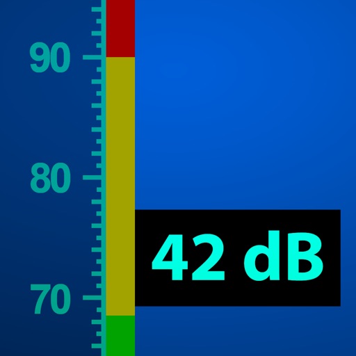
Measure with real-time readings and +/- 1 dB accuracy. Log and analyze noise data over time. Set custom thresholds and receive alerts. Export measurement logs in various formats. Sync data with cloud storage for long-term tracking.
Lets users measure distances and areas on maps. They can plot a radius around a point with customizable color and size. Share map images to indicate routes, areas, or radii. Export maps as images for documentation or communication.
Turn your iPhone into a , angle gauge, and measuring . Check if surfaces are or plumb. Get real-time tilt readings in degrees. Calibrate to align with objects. distances using the device's sensors.
The app measures distances between map waypoints and surface areas of polygons. Users can select measurement units including kilometers, miles, and nautical miles.
Detect cameras by scanning environments with a single click. Use powerful algorithms to identify potential security risks. Check multiple screening points in hotels, homestays, and other locations.
The app transforms an iPhone into a Sound Pressure Level meter. It provides options for industry standard weighting curves and response times, including Leq measurement for environmental noise analysis.