View VIIRS and DMSP satellite data with customizable overlays including clouds, auroras, and IAU observatories. Display SQM and SQC measurements for . Add personal SQM readings via email. Track radiance changes over time.
Predict satellite and ISS sightings with second-level accuracy. Track Starlink satellite trains. Set reminders for upcoming events. Show compass direction and elevation for precise viewing. Countdown to sightings second by second.
View current and forecasted with hyperlocal accuracy. Check hourly updates, radar maps, and severe alerts. Customize widgets for quick access. Track air quality and UV index. Share data with friends.
Track prayer times with customizable and accurate timings. Set daily required and optional prayer reminders. View sun and moon phases, along with astronomy details for solar and lunar cycles. Sync prayer schedules with location-based settings.
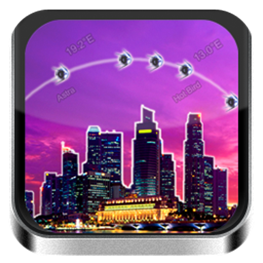
The app provides a database of TV satellites. It displays channel names, radio stations, providers, encoding, frequency, polarization, FEC, and Symbol Rate.
View 7-day forecasts with today’s max and min temperatures. Check 'feels like' temperature and wind details including speed in multiple units. Track humidity levels and precipitation probability. Customize layout and preferred parameters.
Calculate trajectories for firearms using precise ballistics data. Input and save firearm and ammunition details for quick access. Integrate with Kestrel and WeatherFlow devices via Bluetooth for atmospheric data.
Explore 3D street views and high-definition satellite maps for detailed location information. Navigate using real-time positioning. Interact with VR attractions for immersive exploration. Access domestic and international scenery from anywhere.
A displays cardinal directions and uses GPS to determine location. It features a realistic virtual interface, shows geographical directions, and helps users navigate effectively.
Navigation provides functionality for directional guidance. Displays current direction and . Tracks movement and offers map integration for route planning. Allows users to set waypoints and navigate between locations.
The app displays sunrise, sunset, and sun direction for any day and location. It provides civil, nautical, and astronomical twilight times, along with the Sun's elevation and azimuth, and shadow ratio.
Calculate standard deviation, probable error, and error of the mean for surveying and civil measurements. Switch between imperial and metric units. Perform calculations for series of observations and single or combined accidental errors.