Allows users to search privately without tracking or data collection. Results are unbiased and not profiled. Users can join community chat groups, contribute to open source code, or promote the platform to support its growth.
Convert of measurement and currencies. Switch between currencies like USD, EUR, JPY, and GBP. Convert lengths, masses, volumes, speeds, areas, information, pressure, power, time, and temperature.
Track earnings from Uber, Lyft, Uber Eats, and DoorDash. Filter trips by dollars per minute and dollars per mile. Automate multi-apping to maximize income. Schedule trips and manage multiple accounts.
Access real-time charging station locations and availability. Start and stop charging sessions remotely. Track progress and receive notifications. Manage account settings and payment methods. View charging history and station details.
Track distance and pace in Run/Walk Mode with mile beeps. Monitor average and current speed in Bike Mode. Driving Mode provides detailed tracking for data export. Supports both miles and kilometers.
Locate current position on Ohio roads using classification: County, Route, and Section. View map with assets and auto-refresh data as you travel. Export details via email. Works only on -maintained roadways in Ohio.
Access policy information, submit and track claims, and make payments for auto, home, marine, and umbrella policies. View policy details, manage billing, and log into an account via .com.
Track speed with a graphical dashboard and analog/numeric display. View current location, weather, and temperature in Celsius or Fahrenheit. Switch between kilometer and mile units. Customize dashboard colors and use an analog compass.
Manage vehicle by inspecting, loading, and delivering units. Track status and schedule pickups. View auction details and rental fleet routes within a 500 mile radius of Springfield, MO.
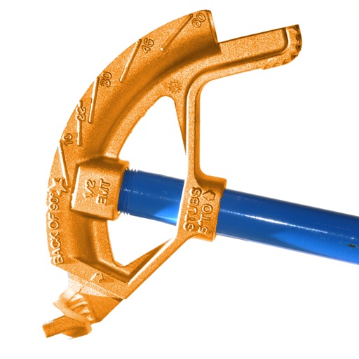
Calculate conduit bends with precise measurements and angle calculations. Input pipe dimensions and tool specifications. Generate bending templates and visualize the layout. Export data for use in projects.
View METAR and TAF data for global airports. Set custom for takeoff, landing, and alternate weather conditions. Create alerts for weather changes using push notifications. Customize units for visibility, wind speed, and temperature.
Calculate bends with precise measurements based on shoe radius, bender dimensions, type, and diameter. Use the centerline radius algorithm for accurate results. Display and adjust bend angles for field testing and real-world application.