Track times based on Solunar predictions, weather forecasts, and tide data. View locations and dates. Add photos of catches with descriptions and measurements. Share catches and view historical data.
View real-time animated images with color-coded precipitation. Check future forecasts and detailed data through interactive map layers. Access fire and air quality indexes. Identify freezing rain for road hazard warnings.
Tracks barometric pressure and altitude using device sensors. Records data continuously in the background. Displays interactive graphs for pressure trends over time. Supports auto-updating widgets for real-time weather insights.
View and convert geographic across multiple formats and datums. Manage locations with an intuitive interface. Display current location at the intersection of two grey lines. Export in various global systems.
Digital measures ambient temperature using GPS and displays it in . Shows temperature in badge format with below-zero indicators. Includes to Celsius conversion calculator with formula.
Track vehicle speed with a digital speedometer showing current, average, maximum speed, and total distance. Use offline mode for uninterrupted performance. Access two HUD modes for windshield display. Choose from 10 themes for customization.
Evaluate thermal comfort and moist-air conditions.
The app calculates thermal comfort and moist-air conditions. It displays psychrometric data including temperature, humidity, and various comfort indices.
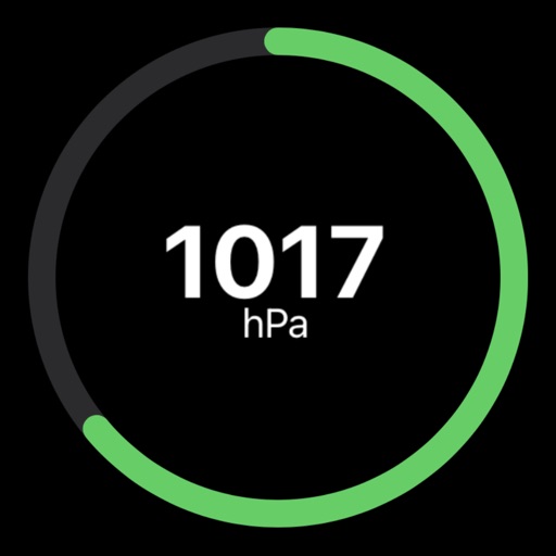
Track atmospheric with real-time updates and a simple gauge display. Monitor changes over time. Plan activities based on weather conditions. Stay prepared for sudden shifts.
Determine location using GPS and MGRS coordinates. Display latitude, longitude, and altitude. Show 16 main directions. Operate offline. Suitable for camping and outdoor navigation.
View forecasts to determine optimal times. Access maps for discovering new spots. Track tides and weather conditions. Log catches and share findings with other anglers. Sync data across devices for continuous tracking.
Navigation provides altitude estimates using device location service for general use. It offers barometric altitude tracking with iPhone 6 or newer, allowing precise relative elevation changes.