
Apps Like Marine Barometer for iPhone and iPad
Marine Barometer screenshots
Ranked alternatives
Showing 421–440 of 1,000 ranked alternatives.



MiCycle Pro
OXiGENATOR LLC
Track routes on bike or trainer
Track cycling routes with GPS/GLONASS for location, speed, and elevation. Monitor power via Bluetooth or ANT+ sensors. Record cadence and compensate for single-side power meters. Save and review ride data. Sync with Apple Health.

iGPS
Ynfo SAS di Graziano Gennaro & Co.
Access GPS and weather information.
The app provides access to device GPS functionality, displaying heading, compass, map views, speed, distance, coordinates, and altitude. It also offers weather information including temperature, humidity, pressure, cloud cover, and wind speed.


Meteo
Stephan Hotto
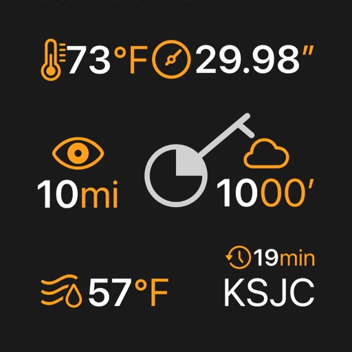
Weather data for Europe analysis.
The app displays weather data from the German Weather Service for Europe. Hobby meteorologists can use this data to create their own weather forecasts.
Speedo GPS Speed Tracker, Car Speedometer, Cycle Computer, Trip Computer, Route Tracking, HUD
Kevin Siml
Track , distance, and
Record data including , average , distance, altitude, and elapsed time. View real-time GPS tracking with longitude and latitude. Monitor statistics and save history. Sync with devices for offline navigation.

FlyBy E6B
Lonnie Ganz
Calculate flight paths and fuel burn
Calculate flight performance with wind and density altitude inputs. Perform fuel burn calculations and determine true airspeed. Convert units and view flight path diagrams. Save and share flight plans.


GPS Speed Tracker: Speedometer
Pratixaben Chauhan
Track and distance in km and mph
Track and distance in miles and kilometers with real-time updates. Switch between KM/H and MPH modes. Display average and maximum . Show altitude and compass. Monitor GPS signal accuracy. Use analog . Work offline without internet.
Koredoko
Norio Kawabata
Identify location of photos in library
The app identifies the location of photos in the user's library. It provides map, coordinates, date, and time information for each image.

Local Weather Radar - SkyNow
Dmytro Hubenko
Track , , and alerts
View real-time images for current conditions. Track storm movements and severe alerts. Set location-based notifications. Access detailed forecasts and temperature data. Share updates with others.

Nav Camera
Craig Hunter
Record photos and videos with data overlays
Record photos and videos with real-time data overlays. Use augmented reality for navigation. Access proven navigation and image processing technologies. Capture geospatial data during recordings. Share media with embedded location and time stamps.

DONIA
andromede oceanologie
Anchor and navigate with seabed maps
Visualize seabed types including sand, Posidonia, coralligenous, and rock. Access port information, maritime regulations, and diving sites. Book mooring buoys for secure anchoring. Track anchoring locations and monitor seabed conditions in real time.
How we rank alternatives
Apps are ranked by functional similarity, category fit, rating confidence, and popularity.