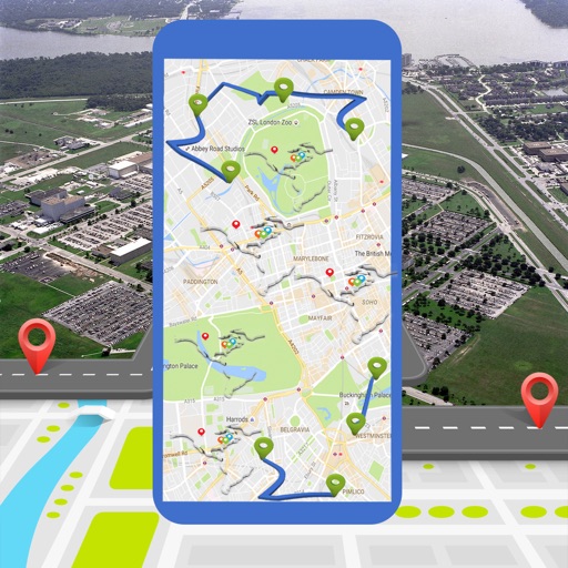
Land measurement tools allow precise and distance calculations on maps. Coordinate capture enables adding multiple coordinates to maps. Map exploration includes zooming, panning, and layer management.
The app provides mapless navigation using GPS and compass data. It allows users to drop markers, search for destinations by address or placename, and view locations on a map.
Locate with a single tap. View stations globally with precise locations. Navigate to the nearest charging station. Receive real-time directions and estimated arrival times. Track charging session details and manage payment methods.