
Topo maps - Norway
Shingle Oy
Detailed topographic map of Norway.
The app provides detailed topographic maps of Norway for offline use. Users can download map areas, record tracks, plan routes, and measure distances and angles.

Showing 241–260 of 1,000 ranked alternatives.
Shingle Oy
Detailed topographic map of Norway.
The app provides detailed topographic maps of Norway for offline use. Users can download map areas, record tracks, plan routes, and measure distances and angles.

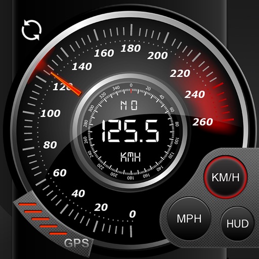
Tsuneki Kamura
Record trips with GPS and voice commands
Record routes with GPS, track elapsed time, distance traveled, straight line distance, average speed, and last recorded speed. Start or stop recording via voice or NFC tag. View route and metrics on screen. Compatible with Apple Watch.
Kevin Siml
Track , distance, and
Record data including , average , distance, altitude, and elapsed time. View real-time GPS tracking with longitude and latitude. Monitor statistics and save history. Sync with devices for offline navigation.

bergfex GmbH
Track hikes, ski tours, and outdoor routes
Find hikes or ski tours tailored to your preferences. Create and save personalized routes using the route planner. Track outdoor activities with precise GPS navigation. Access detailed maps for the Alpine region.

自力 黄
Record and track your journey
Track with real-time GPS measurements and second-level precision. Monitor oxygen levels and elevation changes. Log journeys offline and sync data later. Customize themes and access advanced tracking features without login or ads.

david casey
Track locations and save travel
Tracks locations automatically and securely. Records travel in a private journal. Allows users to set tracking preferences and view past locations. Logs visits to places for travel, work, or events.


Anthony Dunk
Seek, find, record, and return.
The app provides navigation for outdoor activities, allowing users to view their location in UTM or Lat/Lon. It supports recording and returning to waypoints, track logs, and exporting data to KML, GPX, or CSV files.

Troutspotting, LLC
Find streams, track fish, release catch
Find fishable streams across the U.S. with real-time stream data and weather forecasts. Locate access points and parking. View special regulations. Search for nearby fly shops and stream gages. Track catch and release activities.


Cristian Radu
Save routes, retrace paths, organize trips
Record travel routes in real time with one tap. Save, retrace, and organize paths. Share journeys with others. View maps and track progress. Sync locations and revisit exact routes later.




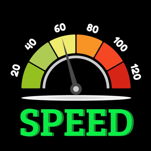
Vipul Prajapati
Track speed, distance, and trips
Track speed, distance, and trip data using GPS. Switch between analog and digital modes. Monitor mph, km/h, or custom units. Record trips and view historical data. Sync with Apple Health for activity tracking.
Apps are ranked by functional similarity, category fit, rating confidence, and popularity.