

Apps Like Along traces for iPhone and iPad
Along traces screenshots
Ranked alternatives
Showing 361–380 of 1,000 ranked alternatives.



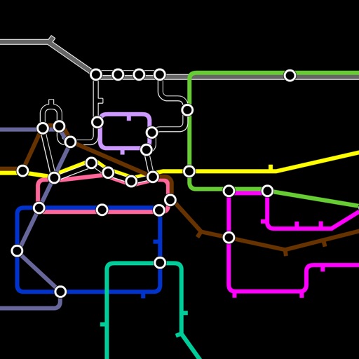
Global Tube Adventure
dijipiji limited
Travel the global tube connecting cities.
The app features a futuristic commodity trading game where users travel a global tube connecting 117 cities across 20 tube lines. Players manage cash reserves and trade commodities in various sectors.


Windsor Transit
Logan Pytyl
Navigate routes and track live stop times
View real-time bus and train schedules. Find routes between locations. Get step-by-step directions. Check arrival times at stops. Plan trips to University of , Jackson Park, and Detroit. Receive updates on service changes.



Disney-World Maps, Guides with Wait times
VCW Inc
Plan trips maps and attractions
Plan trips detailed maps showing attractions, dining options, and park timings. Search for specific locations, view descriptions, and filter between dining and attractions.

WSW move Timetable and Tickets
WSW Wuppertaler Stadtwerke GmbH
Timetable information and ticket purchases.
The app provides timetable information and ticket purchases for public transport in Wuppertal and the surrounding VRR area. Users can search for connections, view departure times, and receive delay notifications.



MapToaster NZ Topo Maps
Integrated Mapping Ltd
New Zealand topo maps for planning.
The app provides New Zealand topographical maps with detailed placenames and conservation area borders. Coordinates can be displayed in various formats, and users can navigate to waypoints with a head-up display.


How we rank alternatives
Apps are ranked by functional similarity, category fit, rating confidence, and popularity.